In this part, we discover why the Curonian Spit along the Baltic Sea is so unusual and engaging. In part 2, we polish up our know-how about amber, the Baltic gold – finding the good, the bad and the sticky (click here to read the post).
It’s a most unusual feature on the long, long southern coastline of the Baltic Sea, which otherwise is characterized by sandy shores, inlets and bays. And it’s a feature ready-made for legends, past and present.
The three Baltic countries – Estonia, Latvia, Lithuania – roughly form a large oval, one that borders Russia on the upper right and Belarus on the lower right. On the left is the Baltic Sea from which their generic name comes (out of which the bay of Riga is like a huge bite out of the egg), and – once again – Russia on the bottom tip.
How can Russia be at both ends? The lower part is a separate entity now called Kaliningrad. Alternately part of neighboring Poland or Germany through the centuries, this was Konigsberg before it became a state within the Soviet Union after World War 2. It remained part of Russia even after the Soviet Union split up.
Kaliningrad is not only an outlier politically, but it’s at the center of that unusual geographical feature as well. Both its northern and southern coastlines enclose large freshwater lagoons each isolated from the Baltic Sea by a tendril of sand – like a ballerina extending sylph-like arms to the countries nearby, which in turn reach back to her. Of her 100 kilometer long northern arm, half is Russian and half Lithuanian.
The arm tapers to a point at the narrow opening of the northern lagoon. Across that opening is the town of Klaipeda, the 3rd largest city in Lithuania.
Over the centuries, as Memel, Klaipeda was mainly under German or Polish control with an evidently strategic position at the head of the lagoon and a natural port. Too often apparently it struggled to compete for trade with the other ports on the Baltic, particularly Konigsberg. According to the castle museum, Konigsberg’s economy thrived through “dishonest and unfair practices.” Nonetheless, Memel’s position made it worth occupying and destroying frequently. For hundreds of years up to the mid-20th century it suffered continual takeovers.
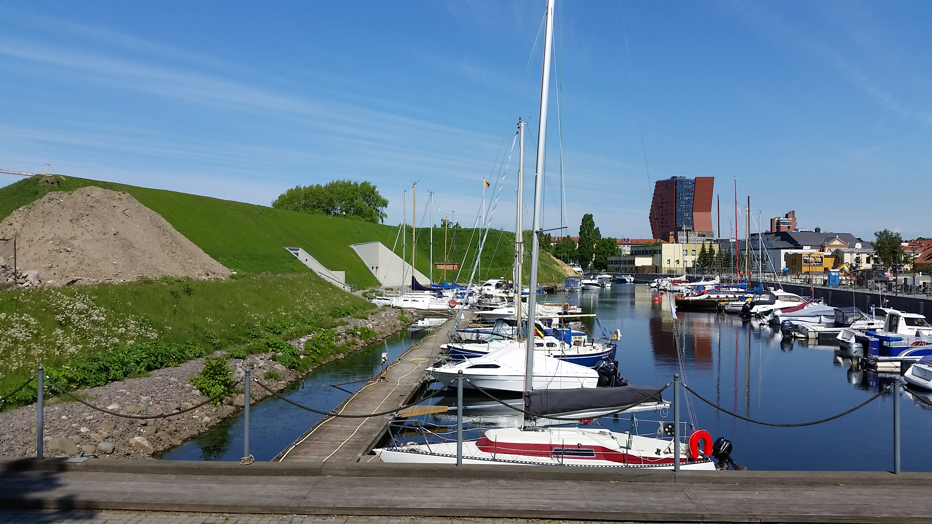
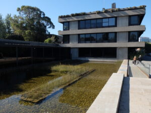
That unfortunate record is encapsulated in the history of its castle, which defended the lagoon and riverway of the city. The peninsular castle itself was re-built and destroyed innumerable times over the years. What’s left are some ramparts and tunnels, currently being revived as the history museum, and still attractively surrounded on three sides by narrow waterways that offer mooring for pleasure boats.
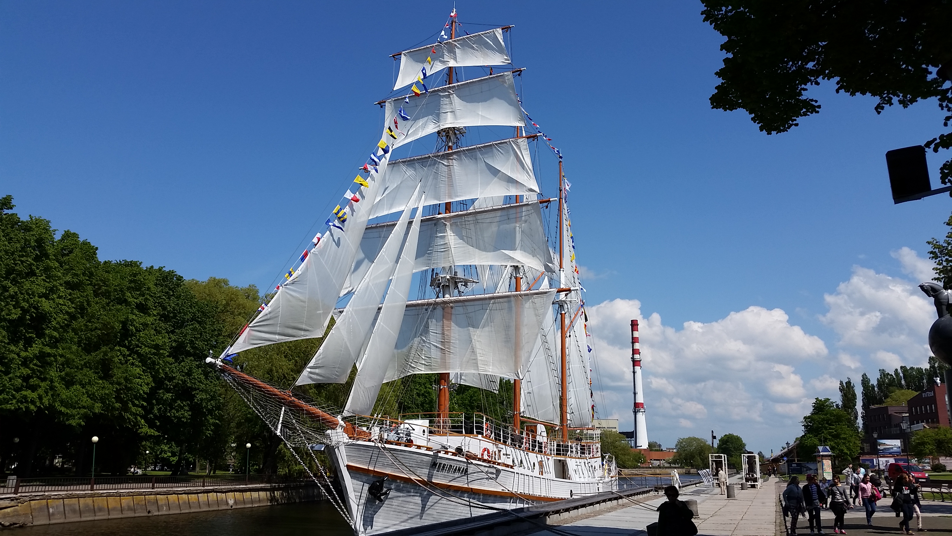
Today, Klaipeda has one big advantage over Kaliningrad at least: it’s not Russia. Cruise ships, as well as ferries, operate near the castle on route to various other Baltic ports of call. They disgorge busloads of visitors, bringing good tourist money into the city. A 10 minute ferry brings some of them, and many Lithuanians, across the narrow mouth of that freshwater lagoon to Smiltyne, and onto the outstretched sandy arm of the Curonian Spit.
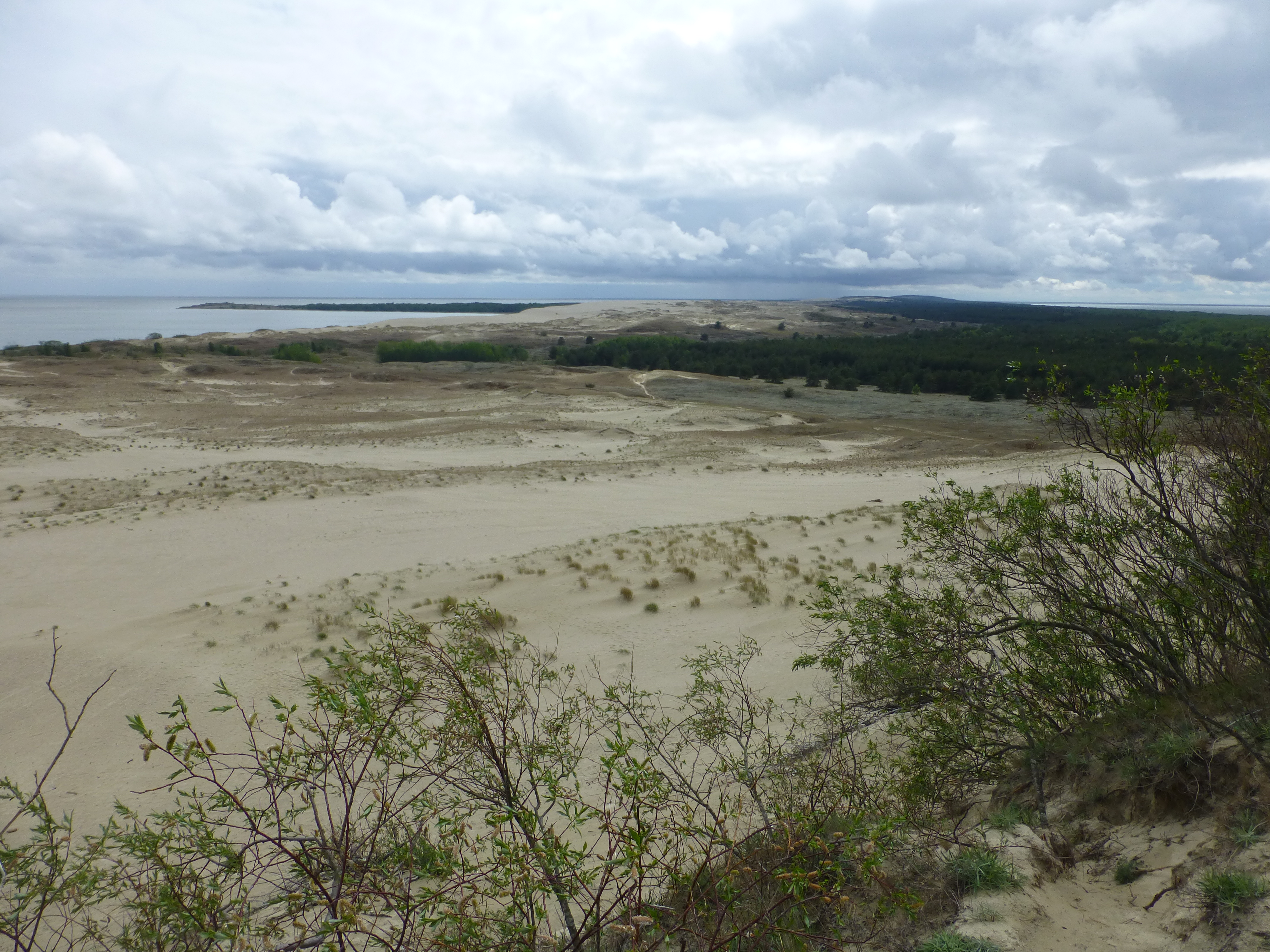
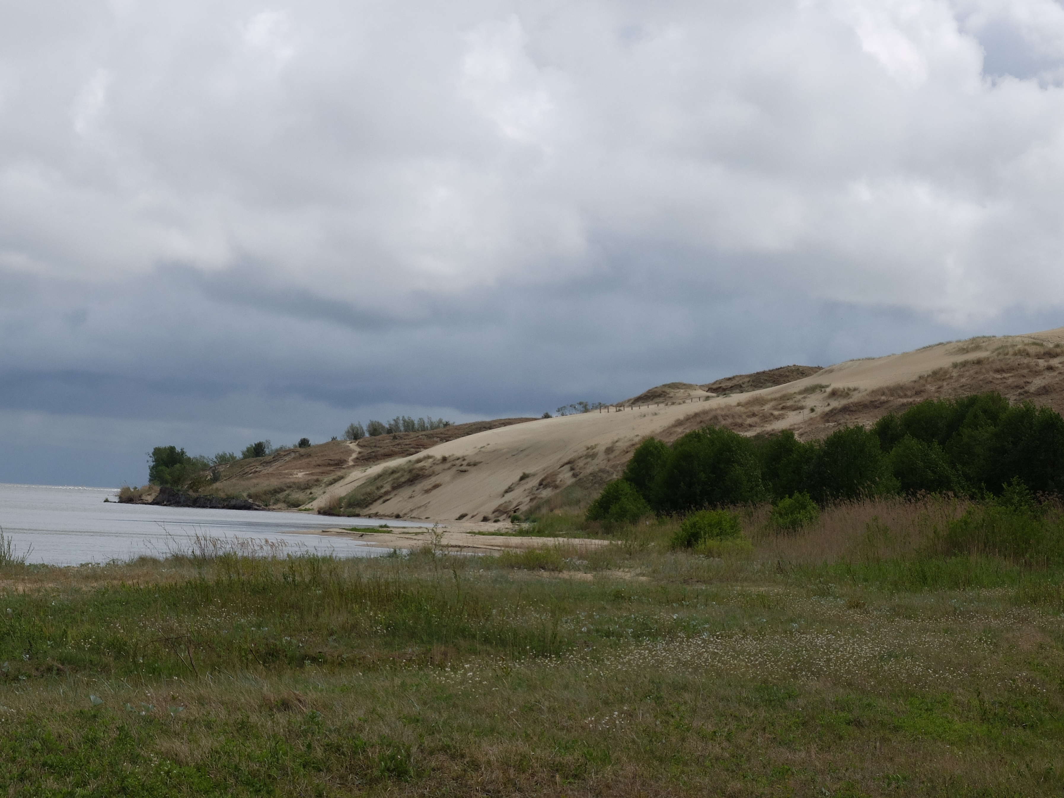
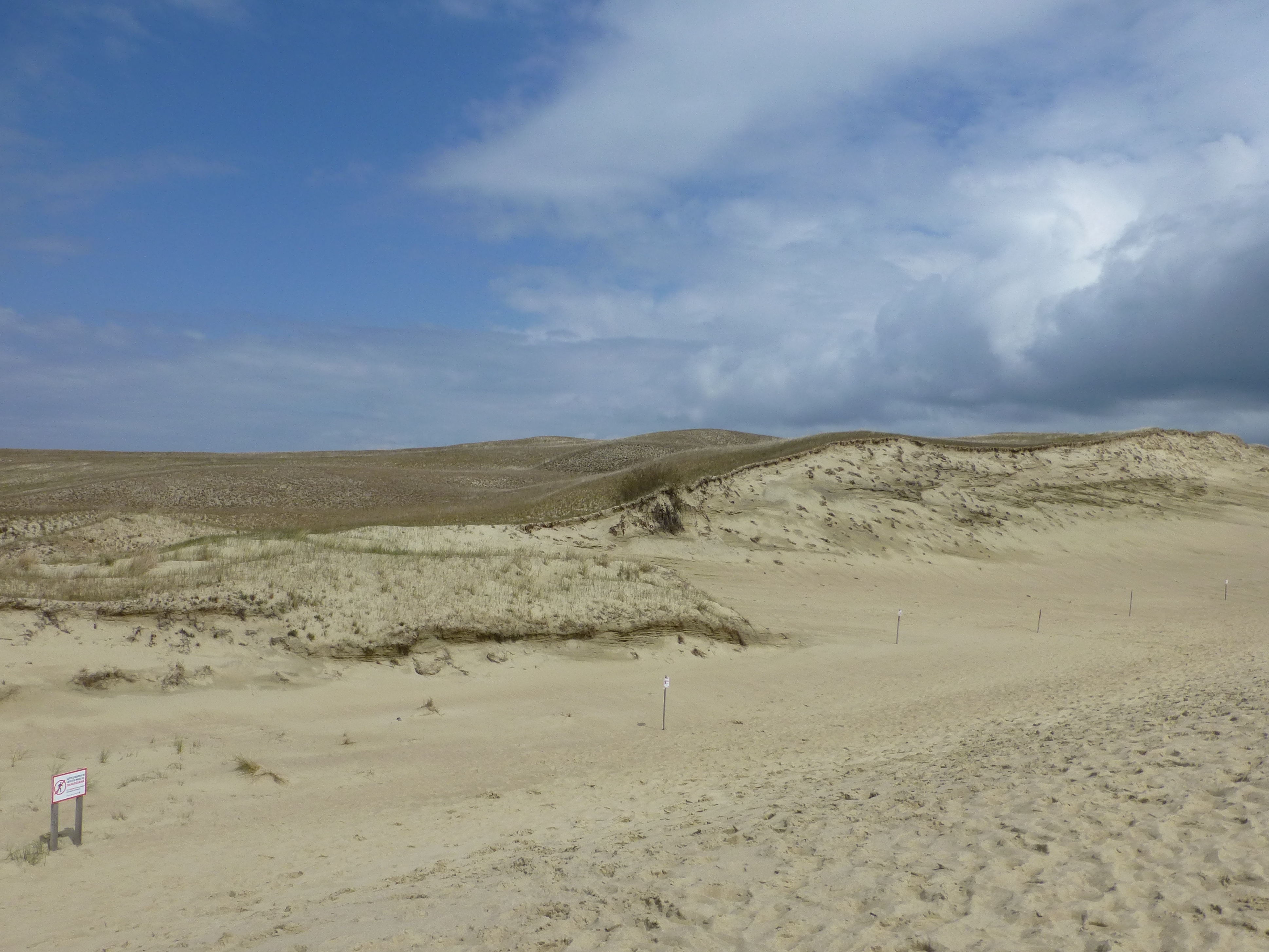
Most of the Spit is just a couple of kilometers wide, just over a mile. The widest point is 3.8 kilometers near the bulbous point to the south above Nida, just before the Spit becomes Russian.
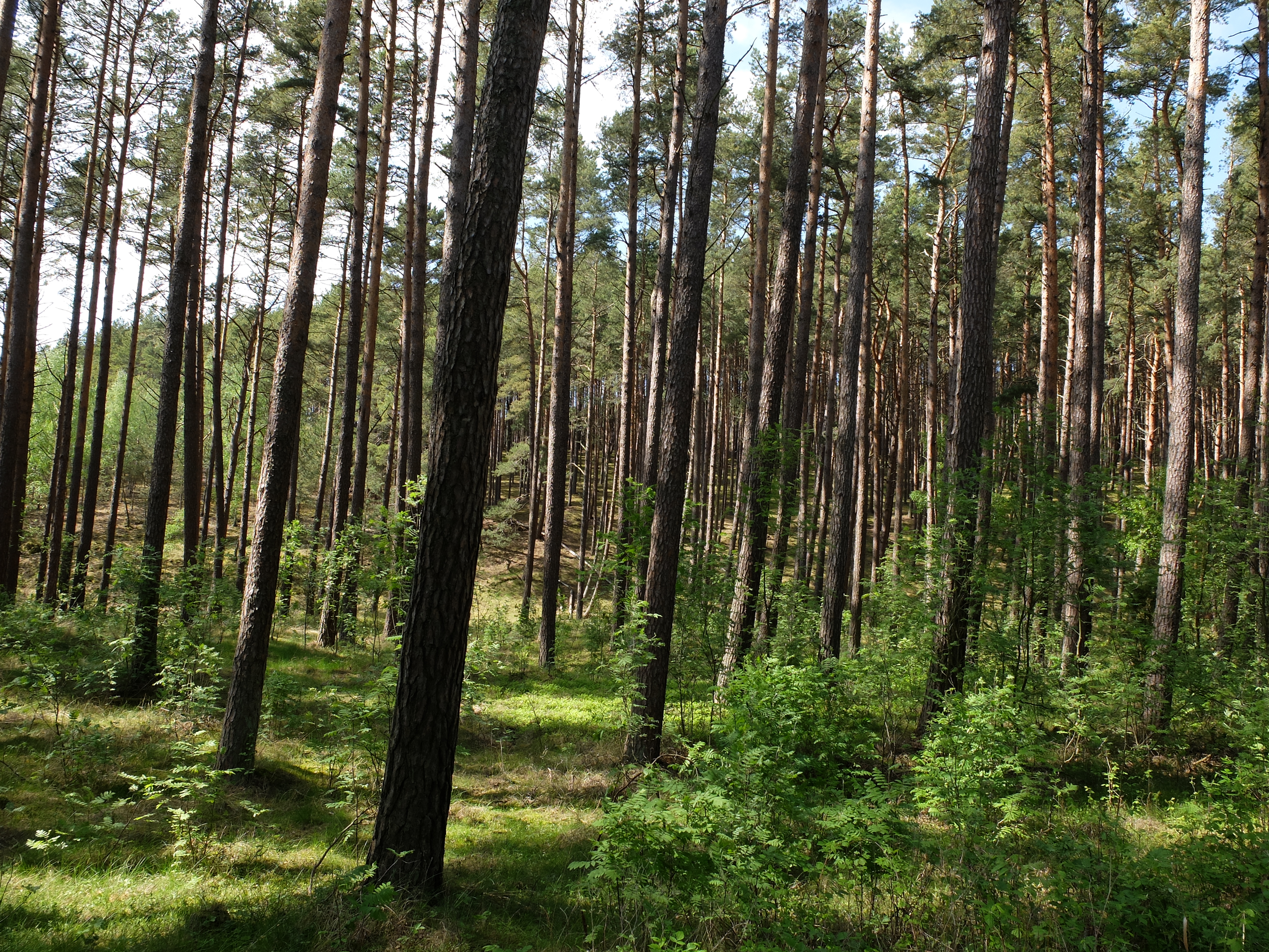
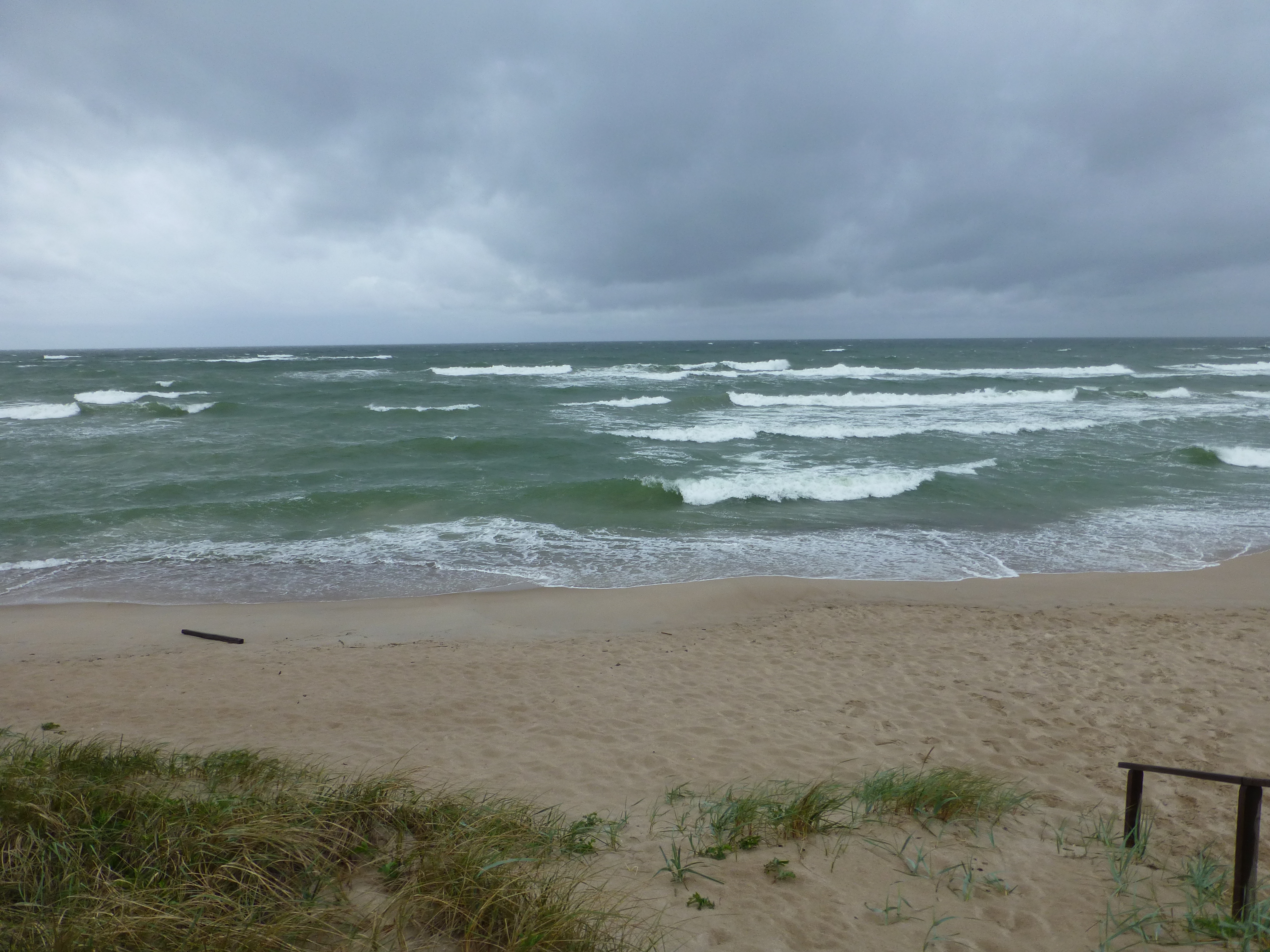
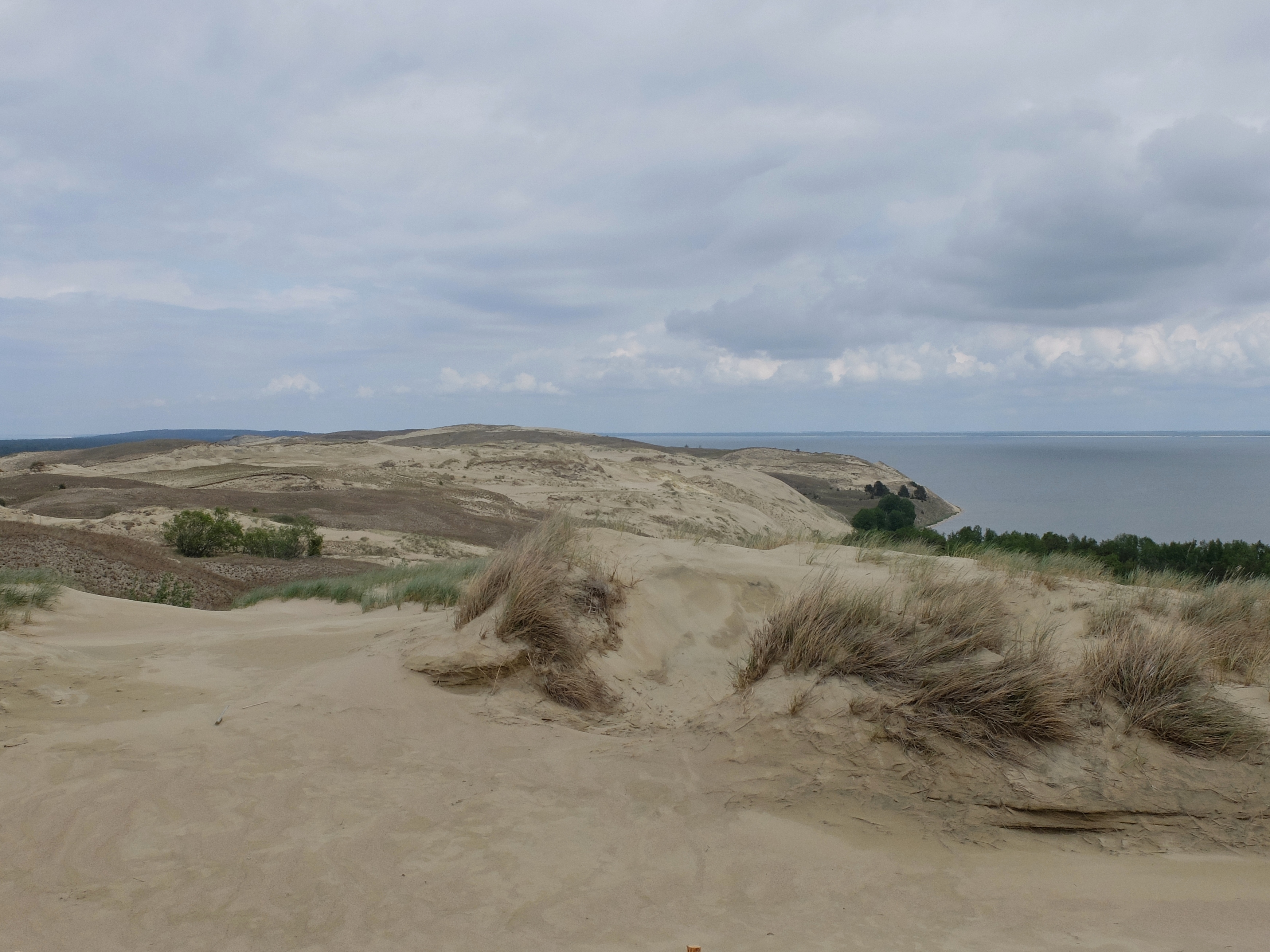
The western side, the Baltic Sea, is all shoreline, non-stop sandy beach. As a result of man-made planting and natural processes over centuries, the central section of the island is extensively forested with pines and various deciduous trees. Underneath all the central woods are the sands of “the great dune ridge,” with Vecekrugas dune the tallest at 67 meters.
The dunes of this ridge are topped with enough earth or organic material to enable the trees to flourish, along with various mosses, algae and lichen.
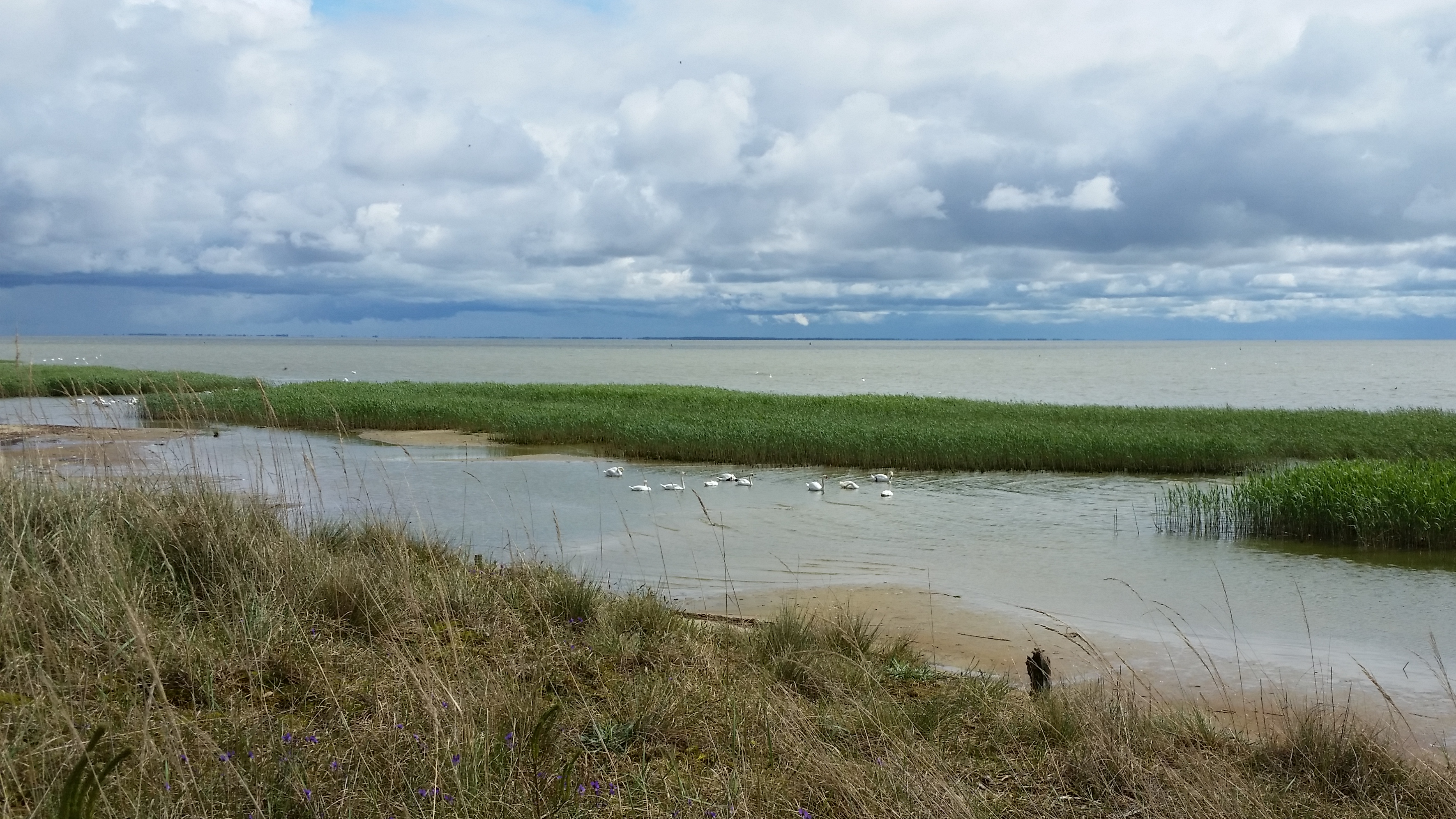
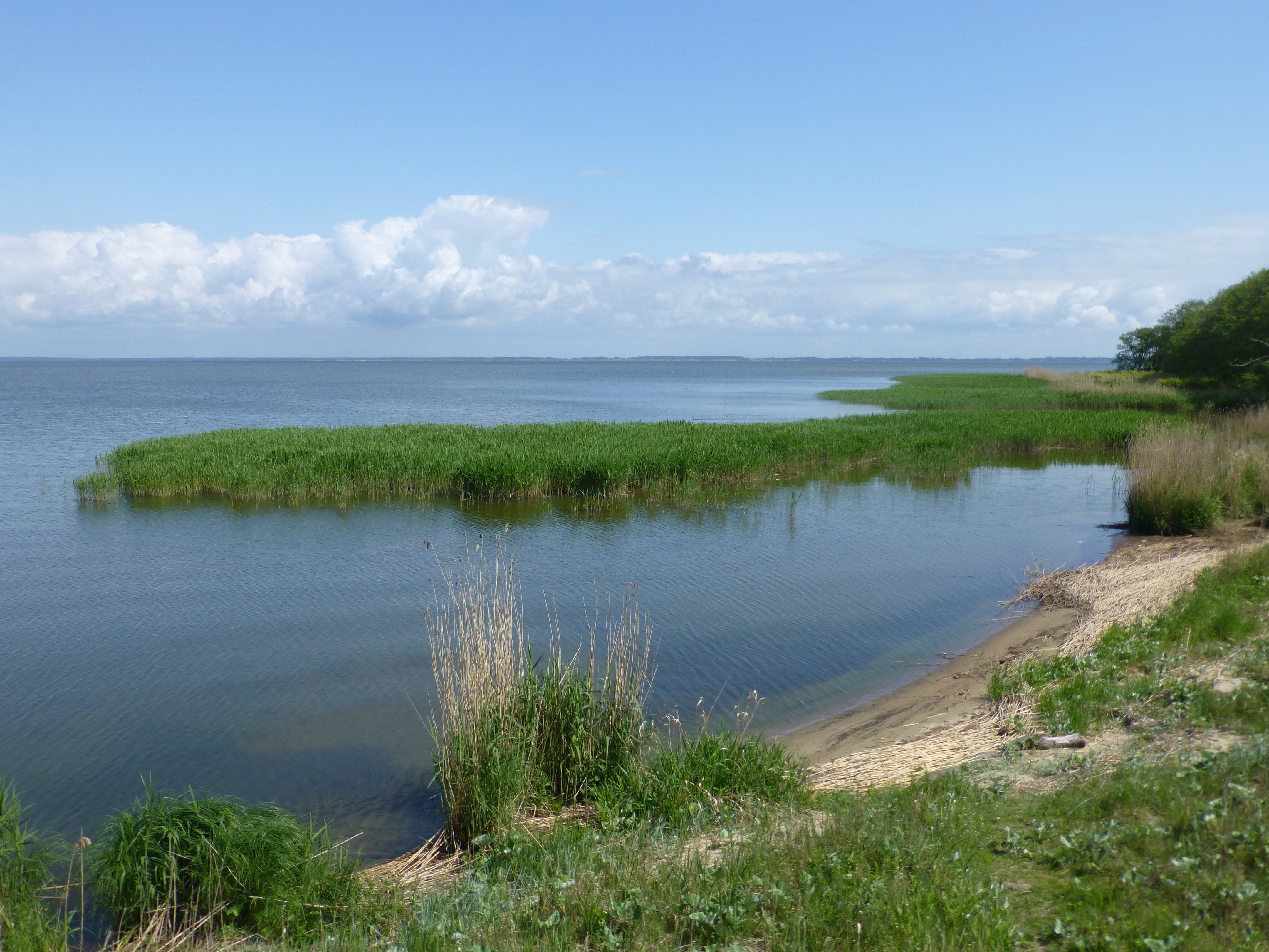
On the lagoon shore to the east, steep dune cliffs alternate with sandy beaches, reedy bays for water birds – and the half dozen or so towns on the Lithuanian part of the spit.
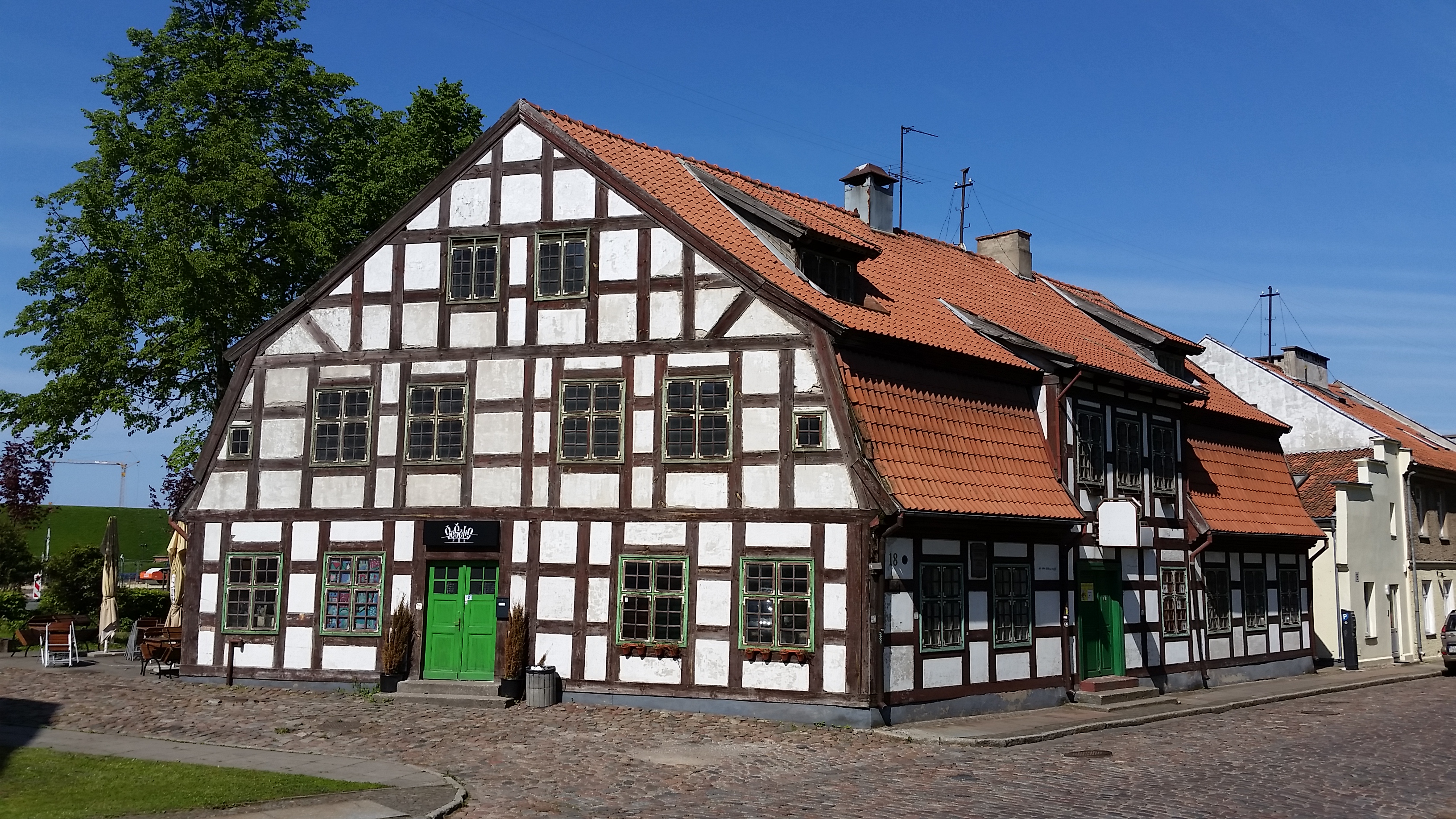
These are long-time fishing villages, turned mostly into tourist attractions, protected by the dunes from blustering westerly Baltic weather, but not protected from all harm. At Klaipeda, the shifting tides of war regularly crushed the town and the castle. Here on the spit, until the mid-19th century, the major threat had come from the unceasing shift of the sand dunes.
Time and again, the towns had been forced to move as the sands swept over them. In some cases, the villagers just disassembled the houses, ported them elsewhere and put them back up. Doing so was not too difficult since the colorfully painted houses were constructed of horizontal wooden planks topped by steep peaked rooves traditionally covered only with thatch.
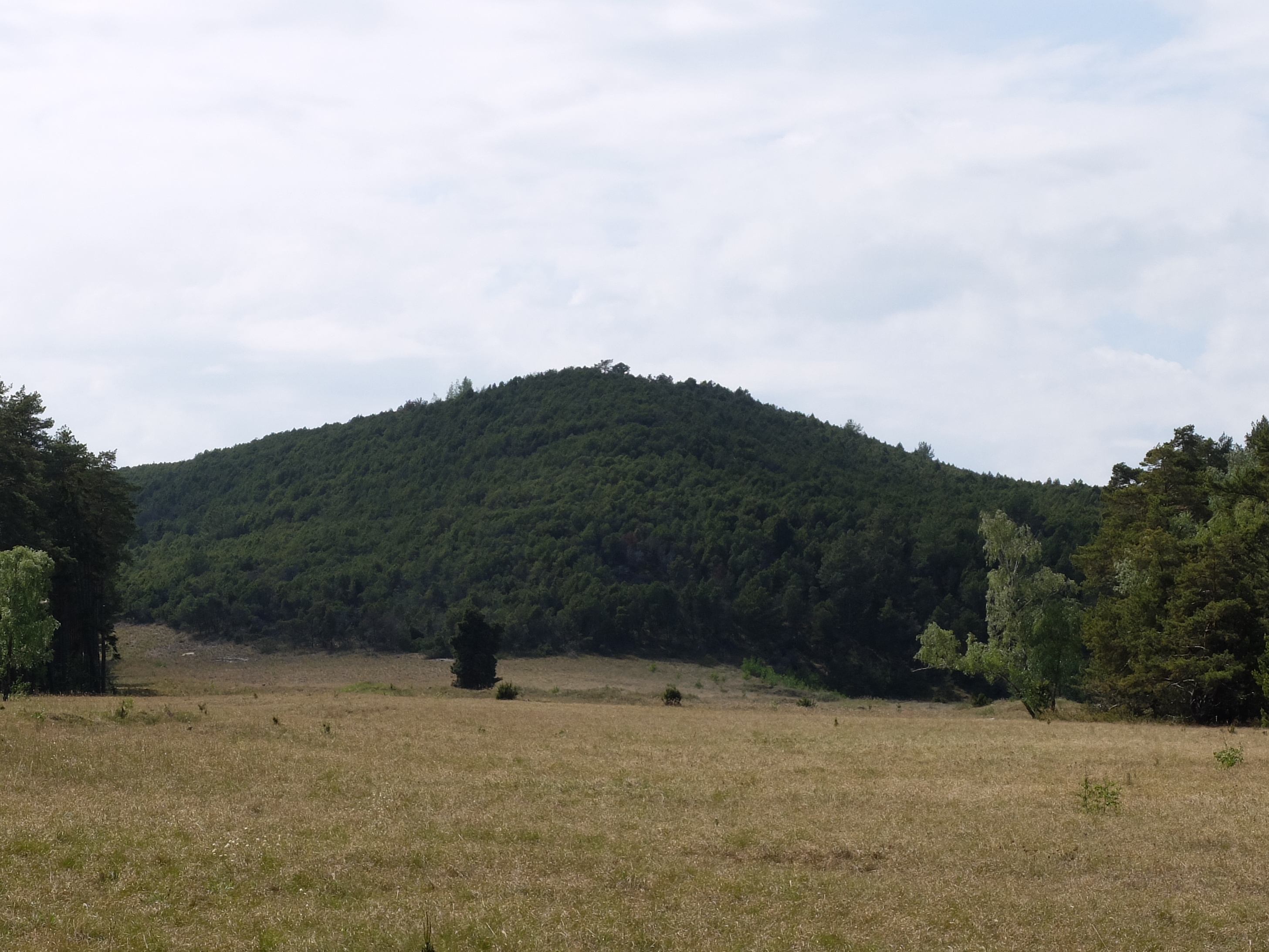
In places like Karvaiciai, the villagers were forced to move several times, eventually abandoning their church as it and whatever else remained was overwhelmed by the dune now called Karvaiciai Hill. The sand barrier that protected the villagers from severe Baltic weather had become an enemy.
After all the forest planting through the mid-19th century, and then the later creation of bulwarks down the western shore, the dunes mostly stabilized. But you can still see evidence of the powerful force of the dune movement. South of Nida, at the edge of Kaliningrad, a massive set of white dunes ripple and flow across the spit, with the sand still moving east up to 5 meters per year – despite human intervention.
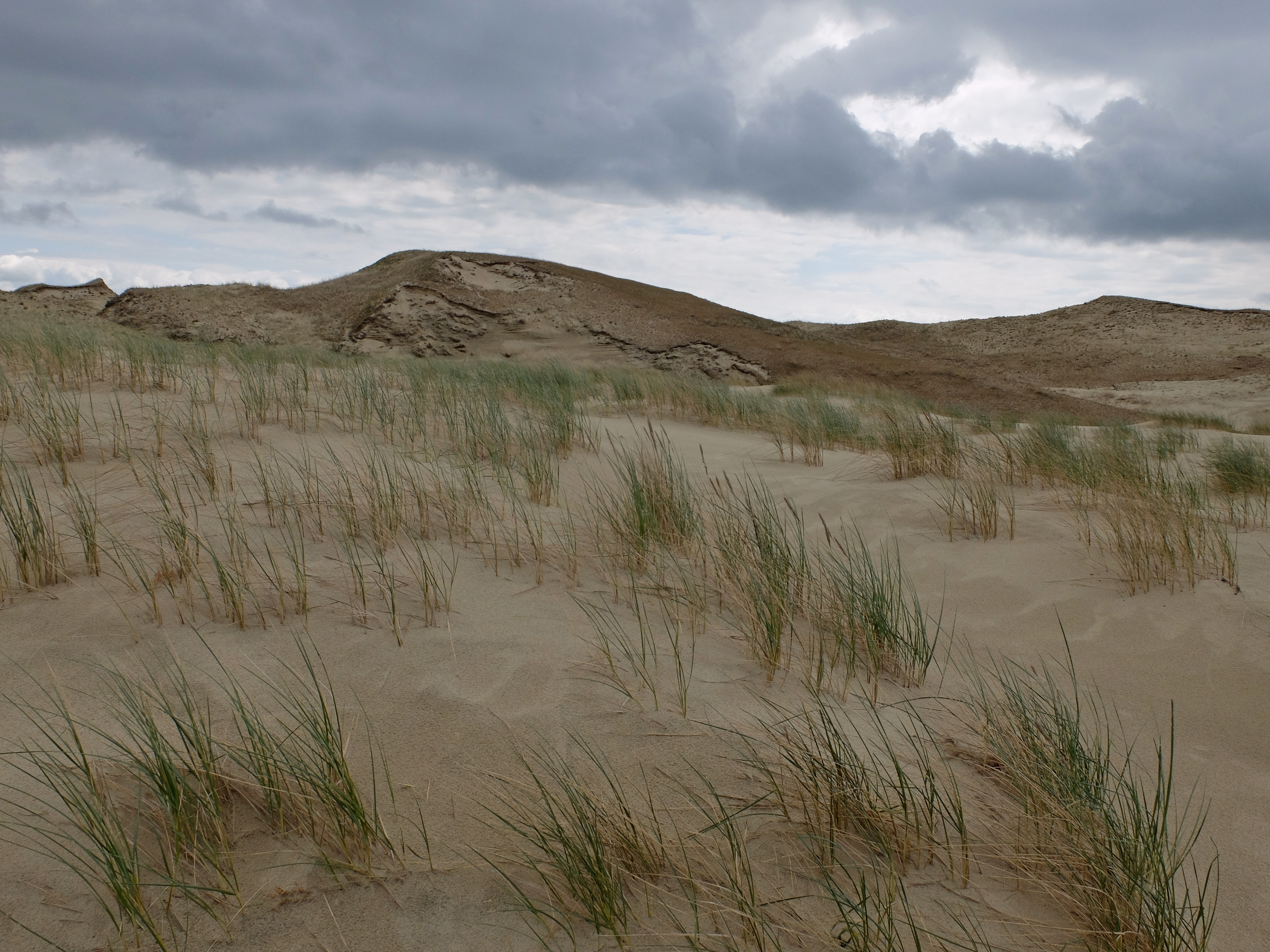
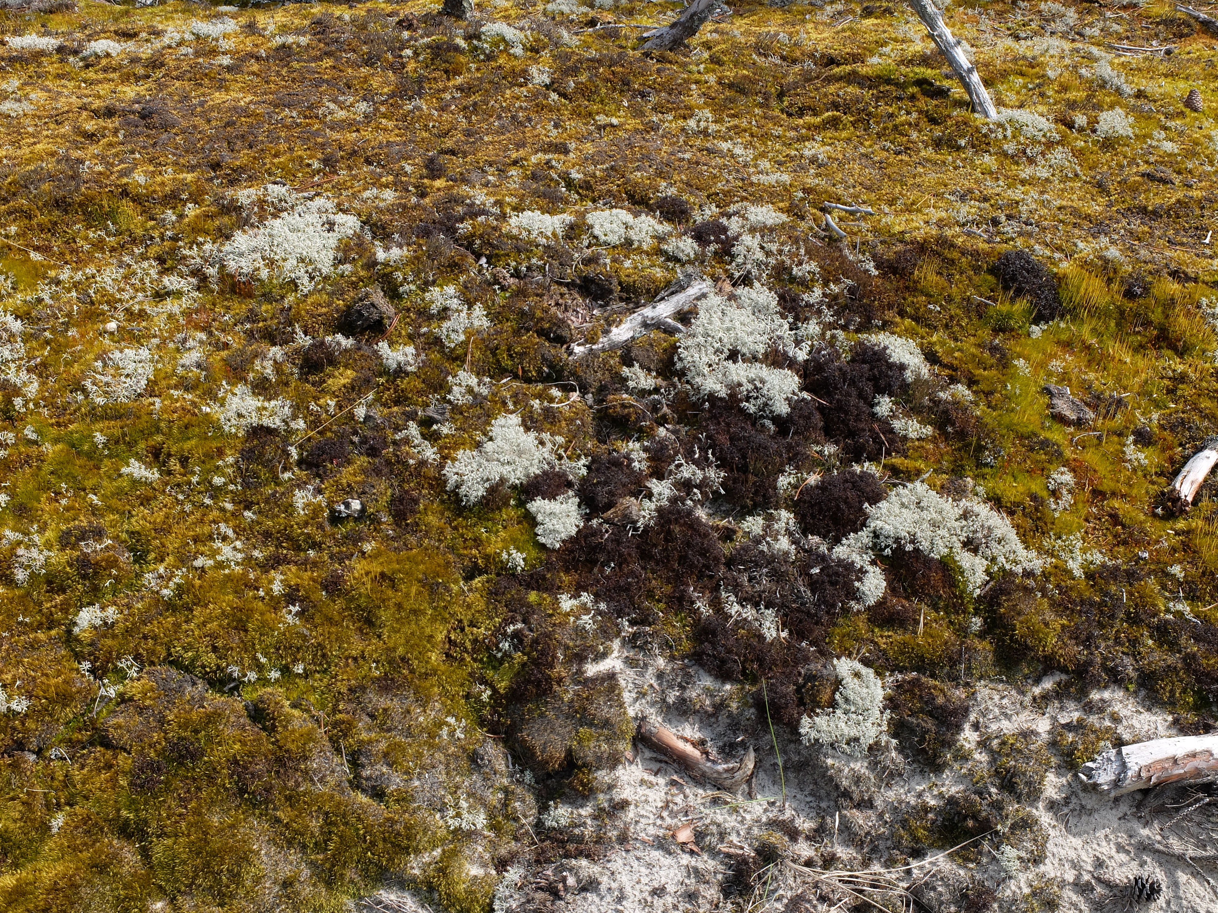
In the middle of the island as well, kilometers of massive dunes near these old villages show the old power of wind and sand. They are often called the dead dunes, for they have covered over old settlements. Yet they are more naturally alive than the rest of the spit. Their other name, the grey dunes, describes why. These dunes are carpeted with dark lichen and other micro-organisms amid the short grasses. Those organisms look grey on the sand surface.
Sand has not been the only threat to the old life. Other challenges came from cold weather and commercial conflicts.
Villagers have long had to endure the months and months of wintry cold. The freshwater lagoon typically freezes hard, though villagers can still fish for smelt below. Winds and storms knock ice sheets about, sheets which can shove boulders onto the shore and threaten houses as well.
Also, fighting for their livelihood did not make for amity among the villages. By the mid-nineteenth century, the regional leaders needed to restrict each village to an allocated part of the lagoon.

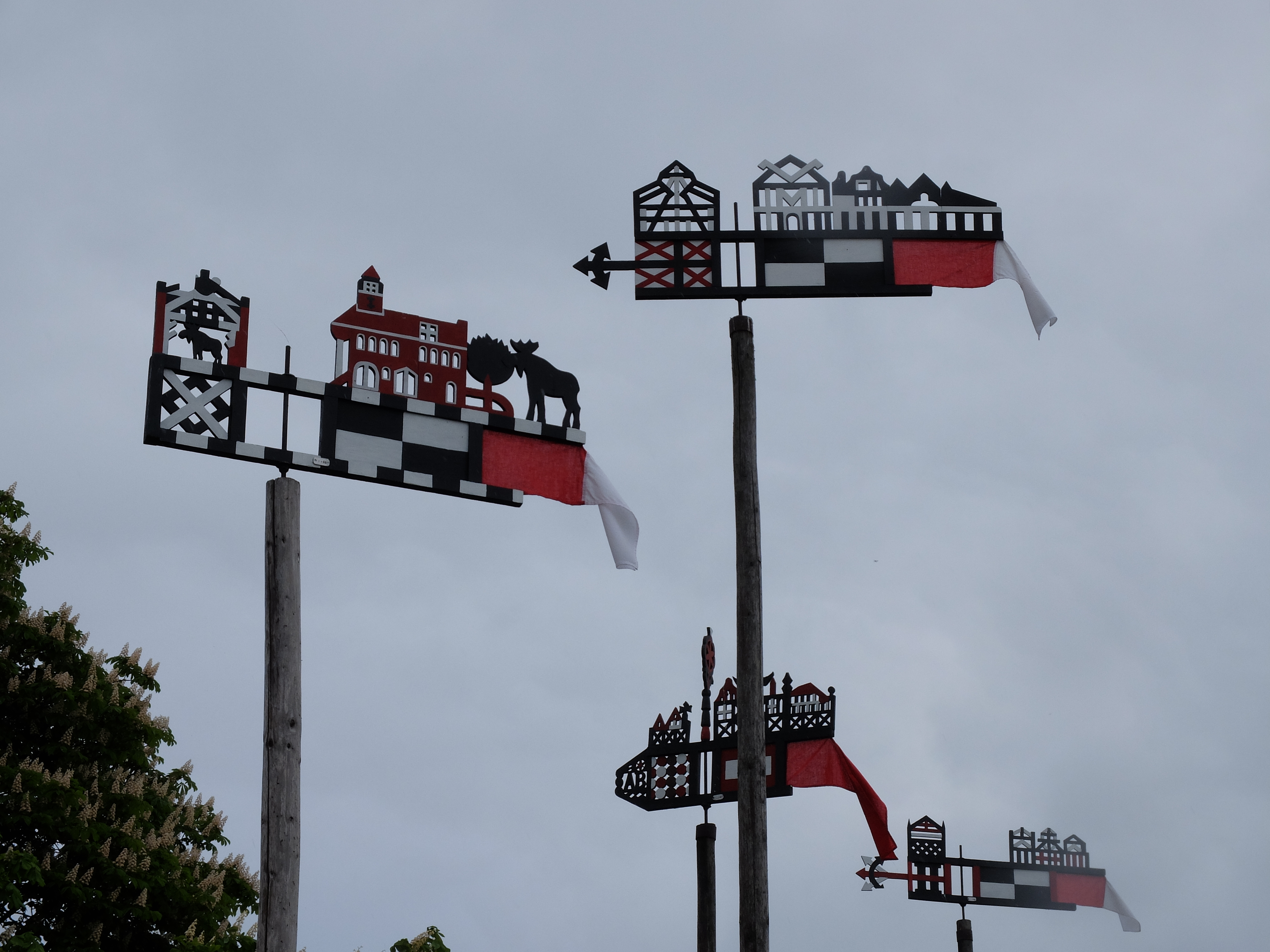
To do this, they required each of the shallow fishing boats to set atop its mast a tin weathervane marked clearly with a rectangular emblem representing its village – a four section checkerboard for Nida, black and white triangles for Preila and Smiltyne, and so on. The patterns for the Spit’s villages used black and white, while those for the mainland shore across the lagoon used similar patterns in red and white.

Over time, fisherman added various carved-wood embellishments, which they attached above and behind the pointing end. Those additions were quirkier, including domestic symbols like church or home, people astride horses, images of the plentiful elk on the island and so on. Now, these weathercocks tend to decorate houses or charm tourists from atop poles along village walkways, as well as entice visitors to buy them in the shops.
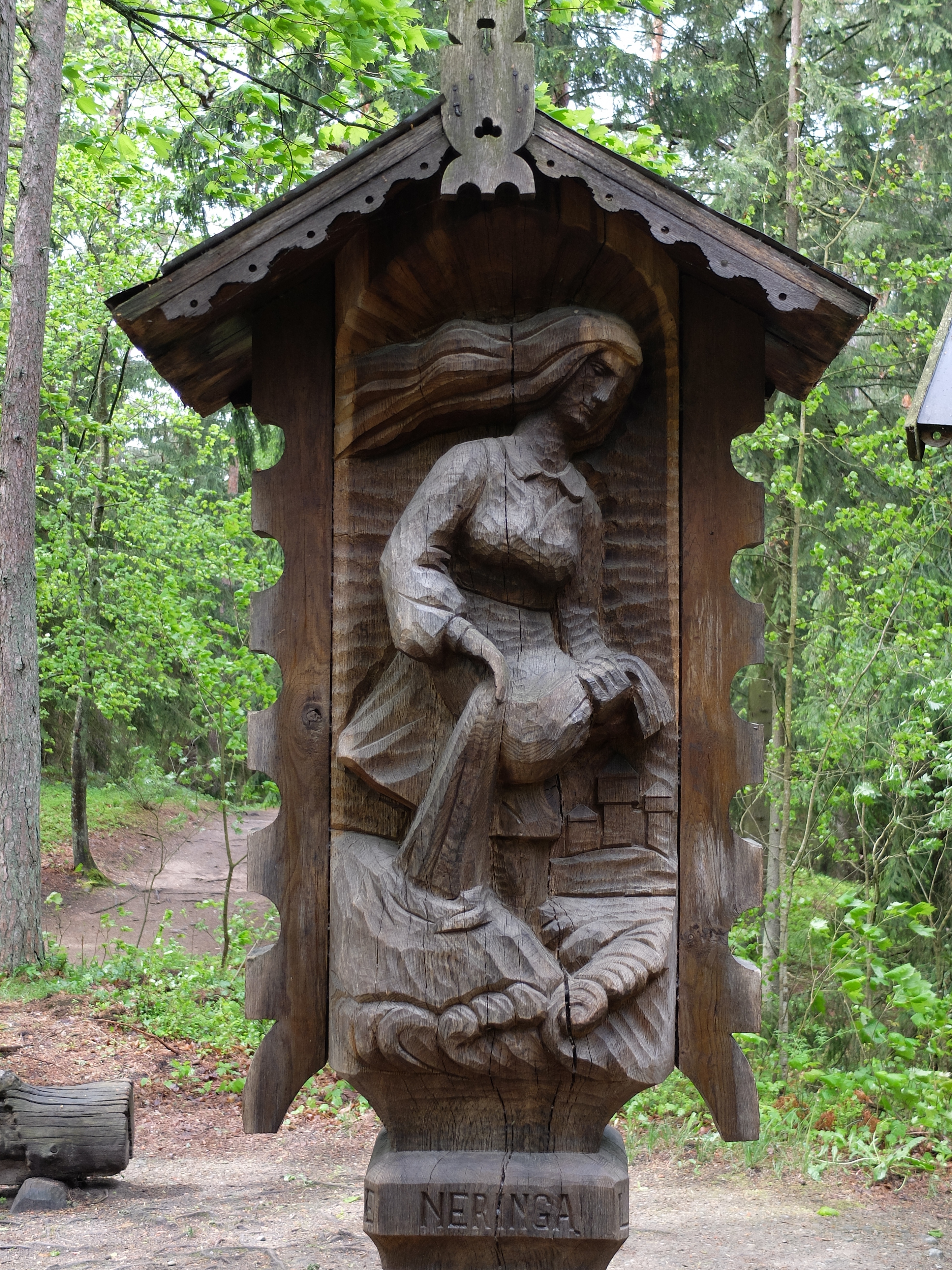
What with people’s tenuous hold on these sands, the Spit has readily bred legends still celebrated today. The locals call it Neringa, named for the goddess giant responsible for its existence. This long-haired princess of the hill castle Vente had always demonstrated a kindly heart as she often rescued fishing boats endangered by violent weather. One story about her embodies the sea-born threats to humans as the sea dragon Naglis, who terrorized Neringa’s people after she refused to marry him. To stop him, she laid down a barrier of sand, thus creating the Spit and the lagoon.
According to another story, she saved Vente castle and the spit from destruction by a windward storm. She repeatedly filled her apron with sand out of the sea and emptied it to reinforce the dune barrier. On her last trip, her apron tore. That load of sand made part of the lagoon quite shallow.
History and legend now mainly enrich the experience of visiting the Spit.
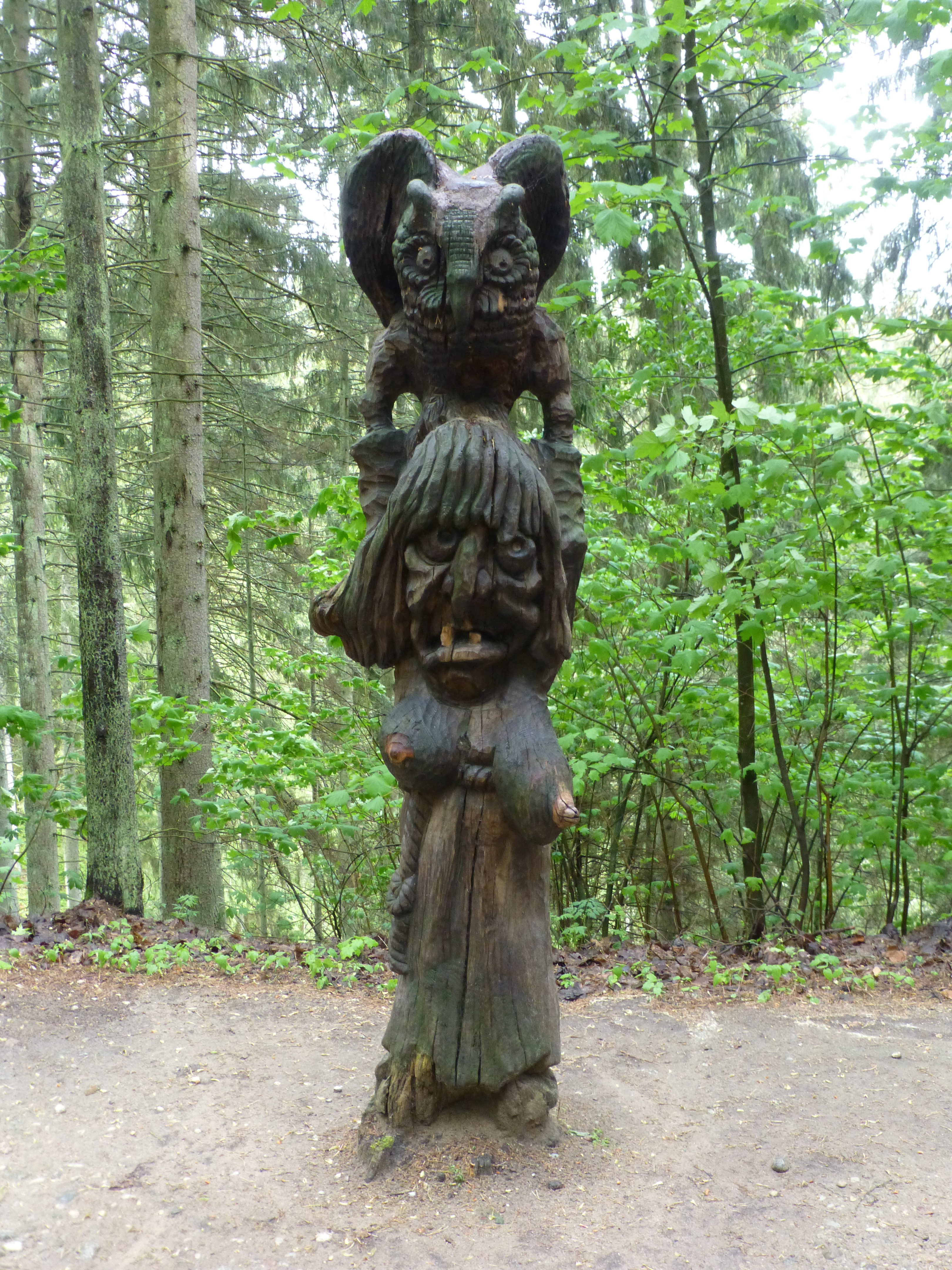
At least during the short summer season, life is quite pleasant for the tourists and the villagers whose livelihood depends largely on visitor pleasure. The charming architecture and the beaches continue to invite; the dunes are extraordinary sights. Other curiosities can engage families for hours, like the Hill of Witches (dozens of wood sculptures depicting odd, devilish characters or mythic figures like Neringa and Naglis, set amid the parabolic dunes in central Juodkrante).
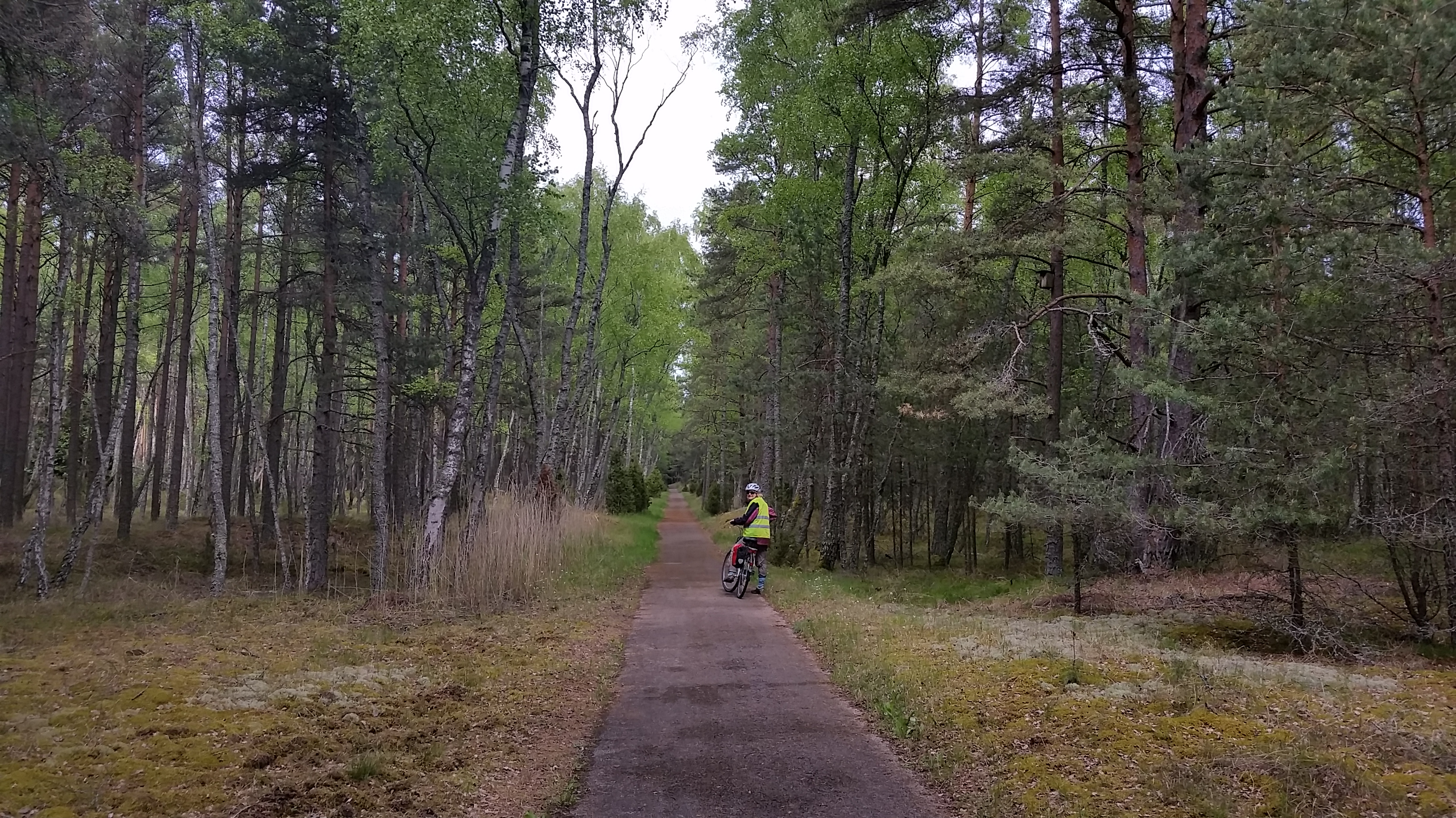
Hiking paths criss-cross the wooded dunes everywhere. A bicycle trail snakes the whole length of the spit, along the two shorelines and within the forest; we biked most of it.
It’s no wonder that the Curonian Spit earned UNESCO World Heritage status because of its unusual, stunning landscape still under threat from natural forces and its inhabitants’ historical contention with those forces. Contemporary visitors need only enjoy.
(Also, for more pictures from Estonia and the Baltics, CLICK HERE to view the slideshow at the end of the Baltics itinerary page.)