

(For our post on the role of Leh as a crossroads for ancient and modern visitors, see At the Junction: Crossroads and Borders of Leh, Ladakh) and for our post on the spiritual landscape of Ladakh – and Sikkim, click here.)

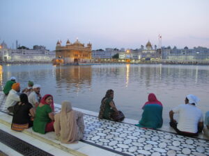
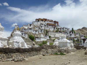
There are two main attractions for modern visitors to the region of Ladakh, centering around its capital Leh. One is the astonishing physical landscape of the snowy mountains and alpine valleys of the Indian Himalayas. The other is the rich spiritual landscape centered on the dozens of monasteries that crown hilltops in this area.
We were able to see much of both during our stay here. This post talks about the physical glories.
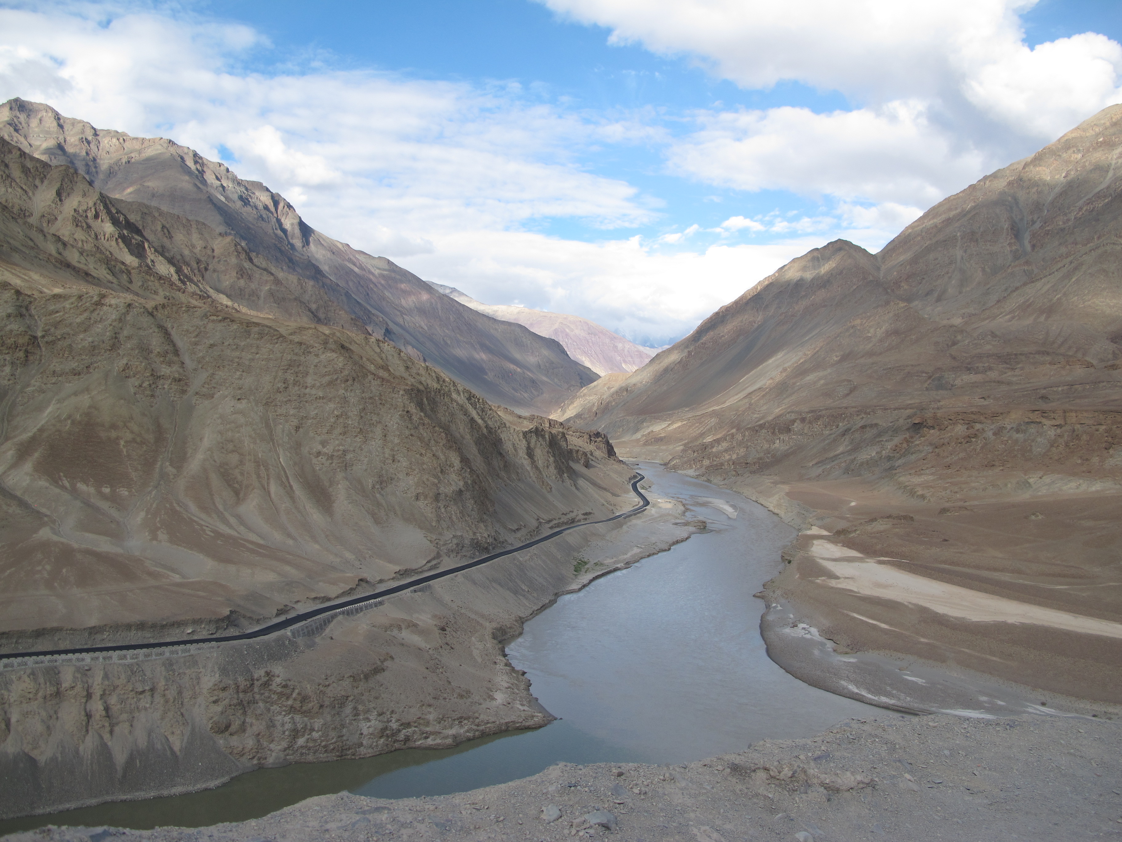
To the west and the east/southeast of Leh, the Indus passes on to western India and Pakistan through slate grey mountains, steep slopes mostly covered in loose rock or scree. Whether reflecting the slopes or from the minerals it carries, the predominant color of the Indus is a unusual greyish-green – no matter what the sky is doing.
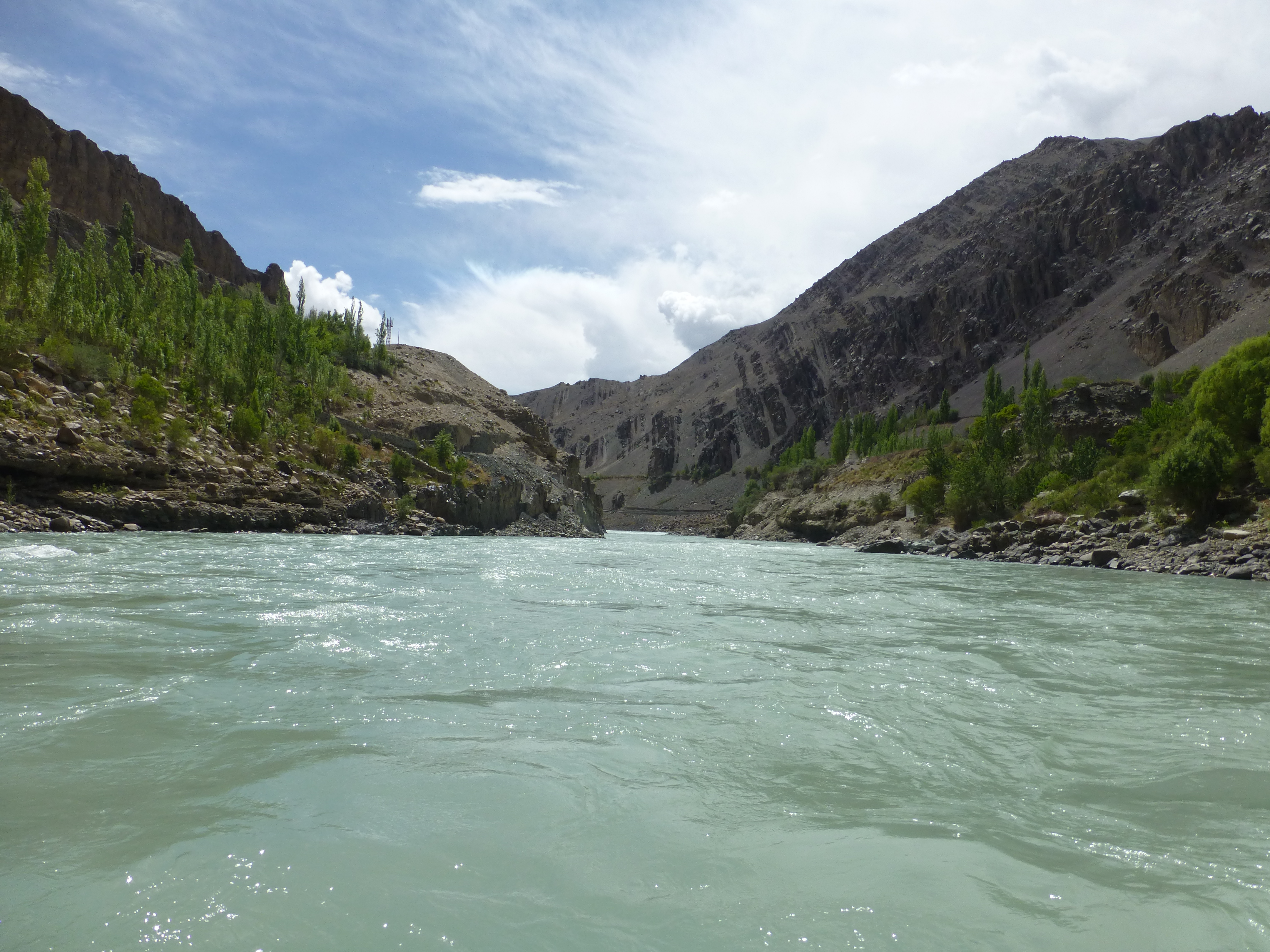
Even in the summer, the water flows rapidly – about 50 meters across – for kilometer after kilometer, and not any kind of boat in sight. We were able to raft along an 11 kilometer section to the far west, near Uletopo, where the river alternates between deep placid sections running at about 8 kilometers per hour and Class 3 rapids that are a thrill to ride. As the only thing on the water, we were an attraction for those driving along the nearby road – busloads of touring Indians, private cars with middle class tourists, motorbikers, all stopped to gape and wave.
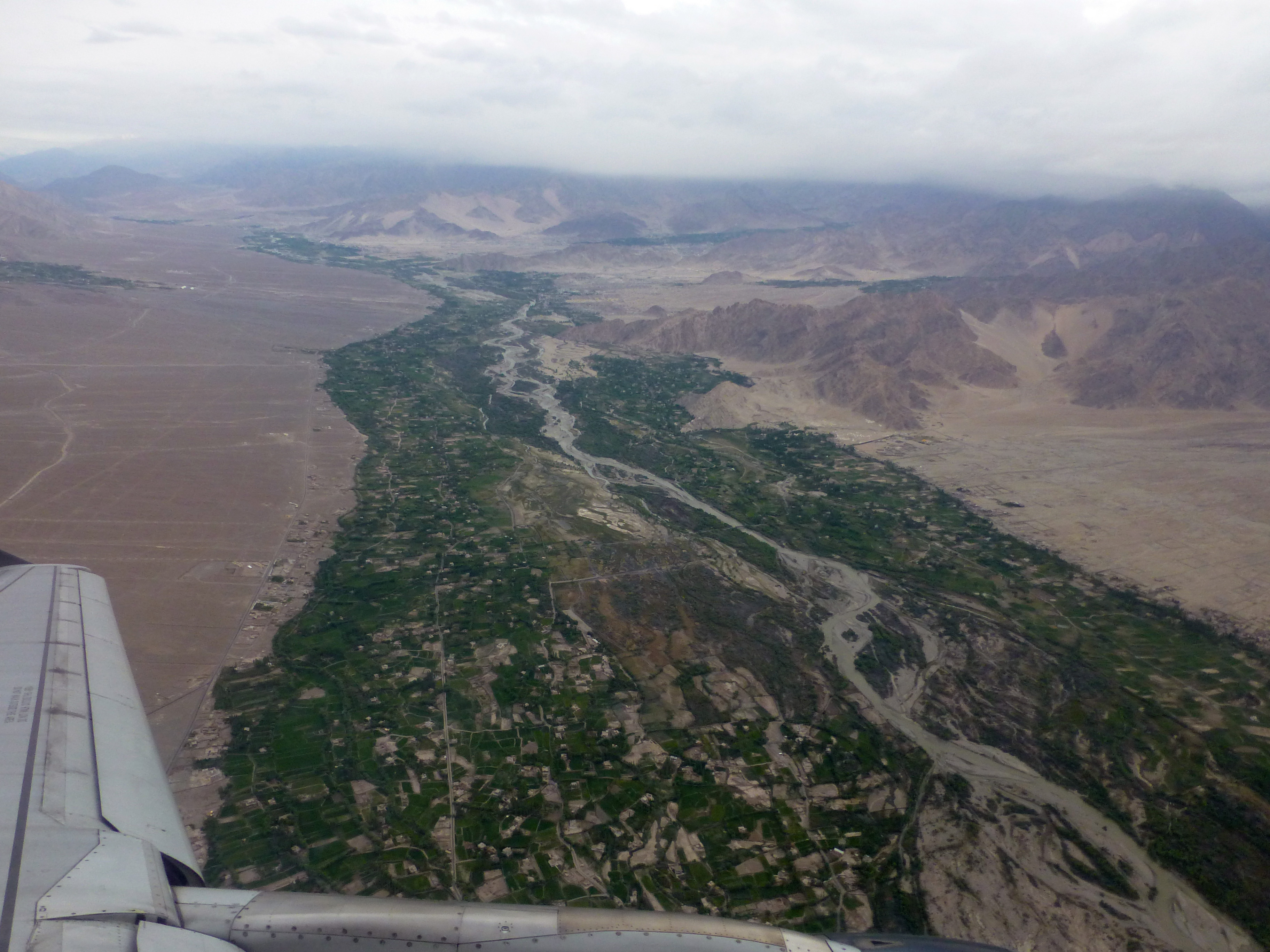
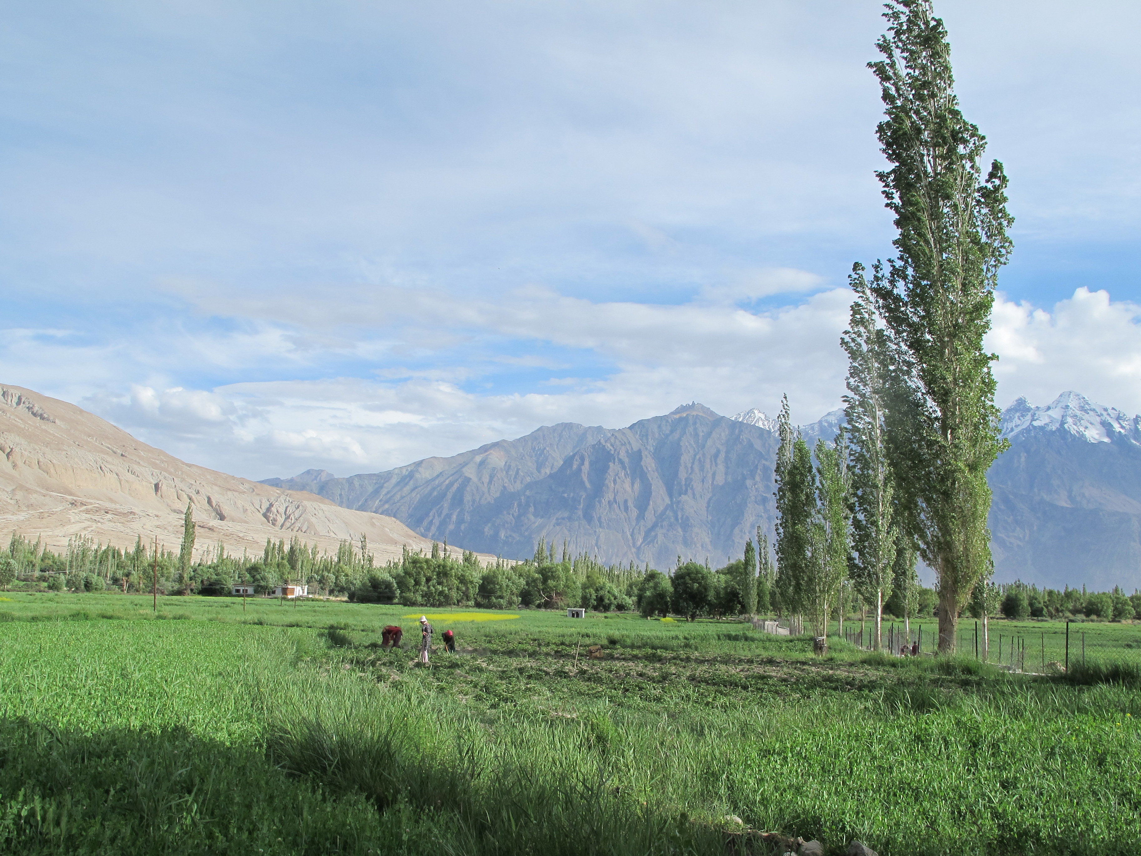
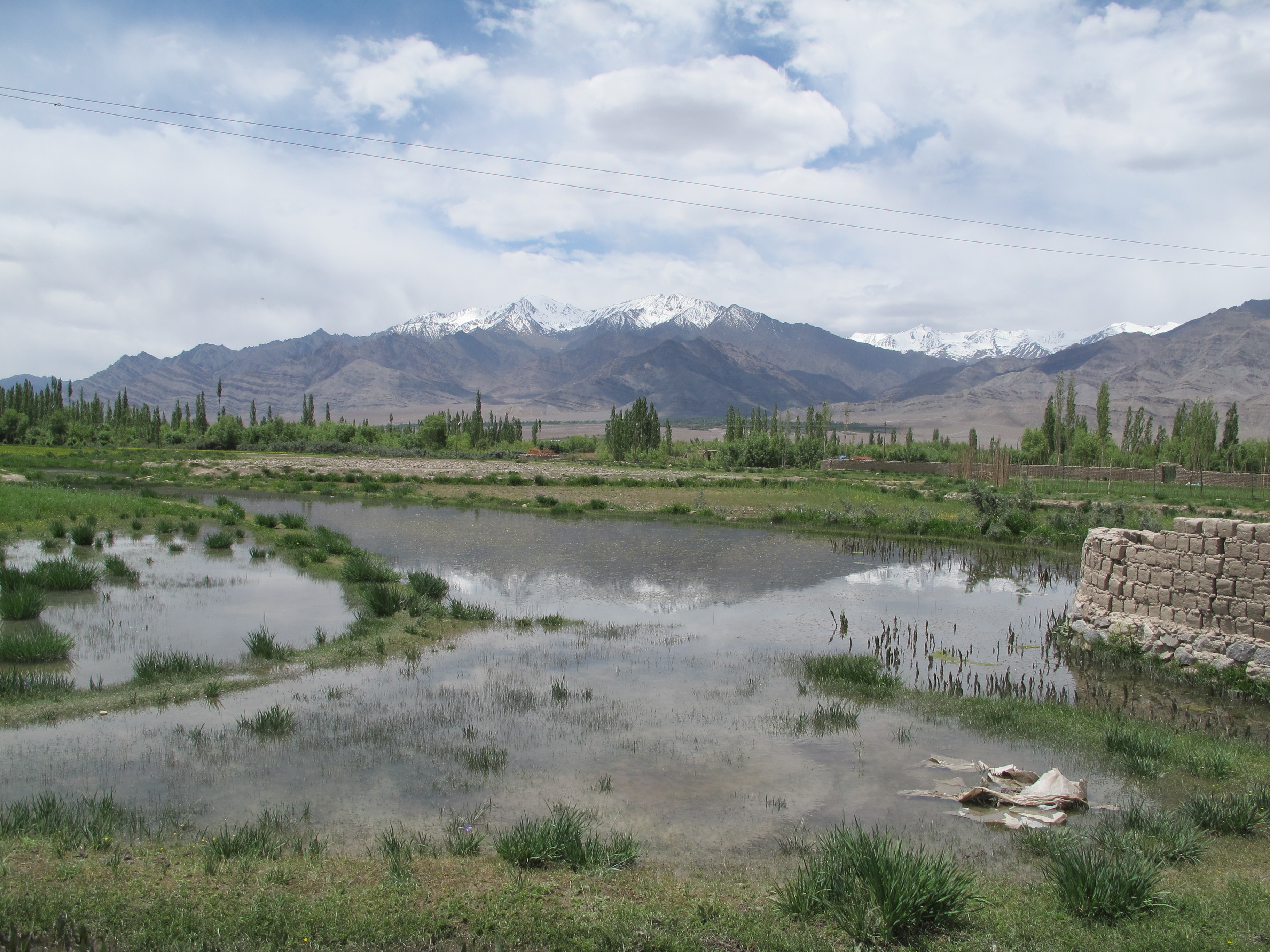
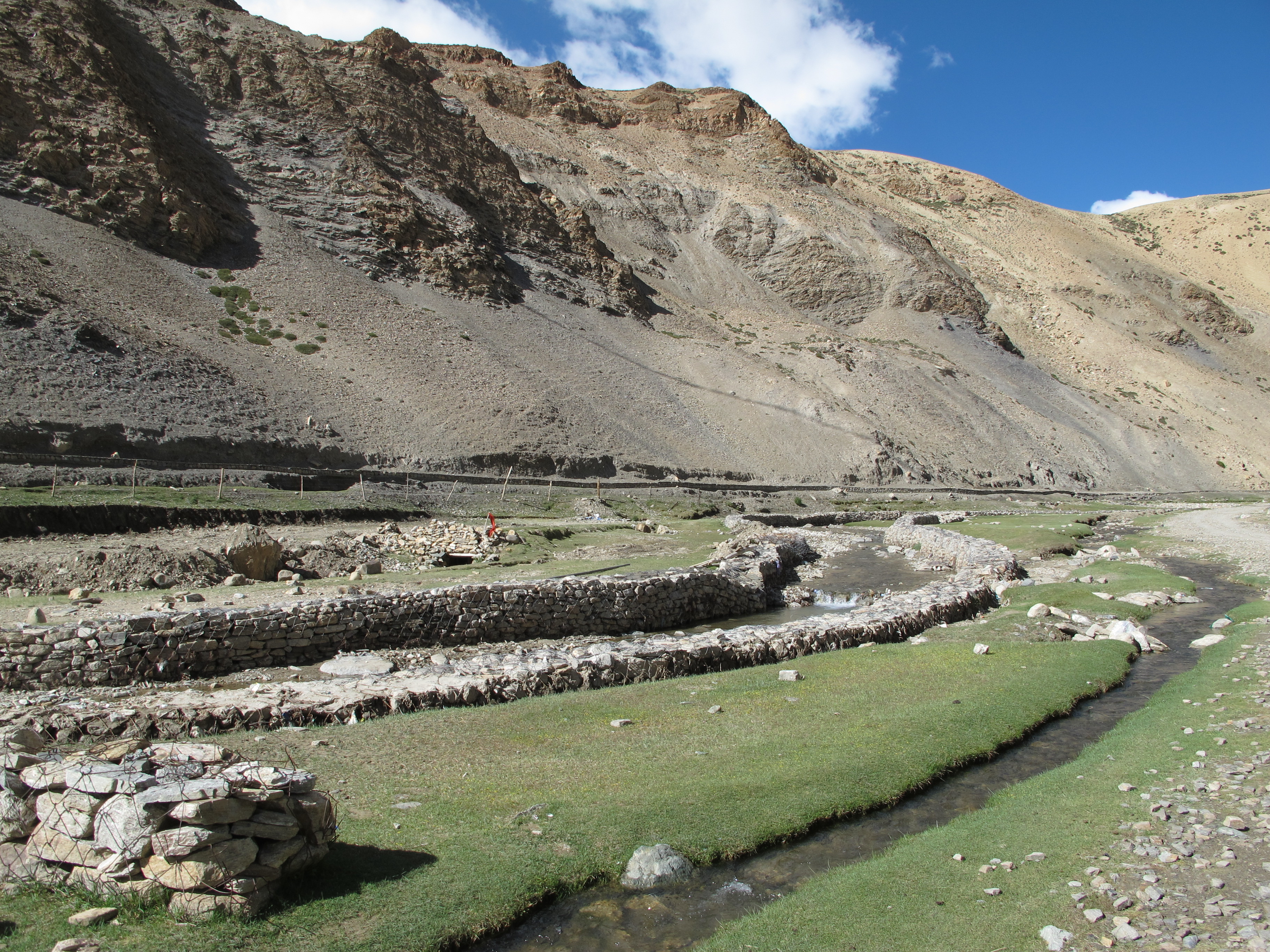
The dry, dusty landscape kept us aware that we were in a desert environment despite the huge volume of water running below. The only change in the stark landscape appears at the scattered villages along the river’s course through Ladakh. Suddenly, the adjacent land turns green, in a combination of naturally watered, but apparently planted, poplars and shrubs along with irrigated cropland spreading a short way from the river. The greenery then tails off into desert once more.
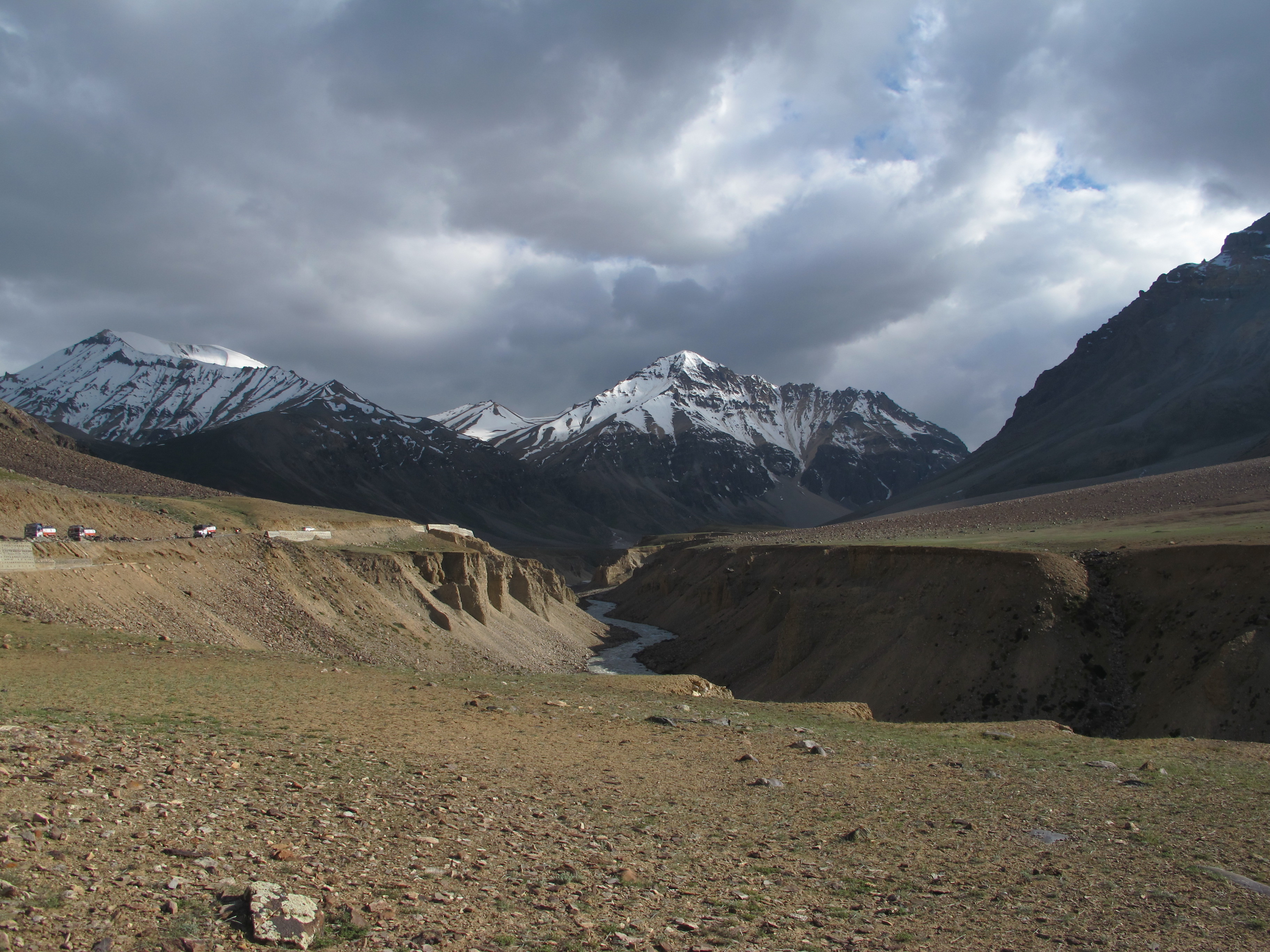
To the north and south of Leh, two comparatively quiet high altitude valleys open up, each over 4500 meters above sea level and both increasingly attractive to tourists. They were perhaps valued by historic visitors as well for the relatively easy passage to them, though the passes were challenging enough. The pass to the north is the highest drivable road in the world, we’re told, topping out at 5602 meters (18,380 feet). The one to the south is the second highest navigable road in the world, at 5328 meters (17,582).
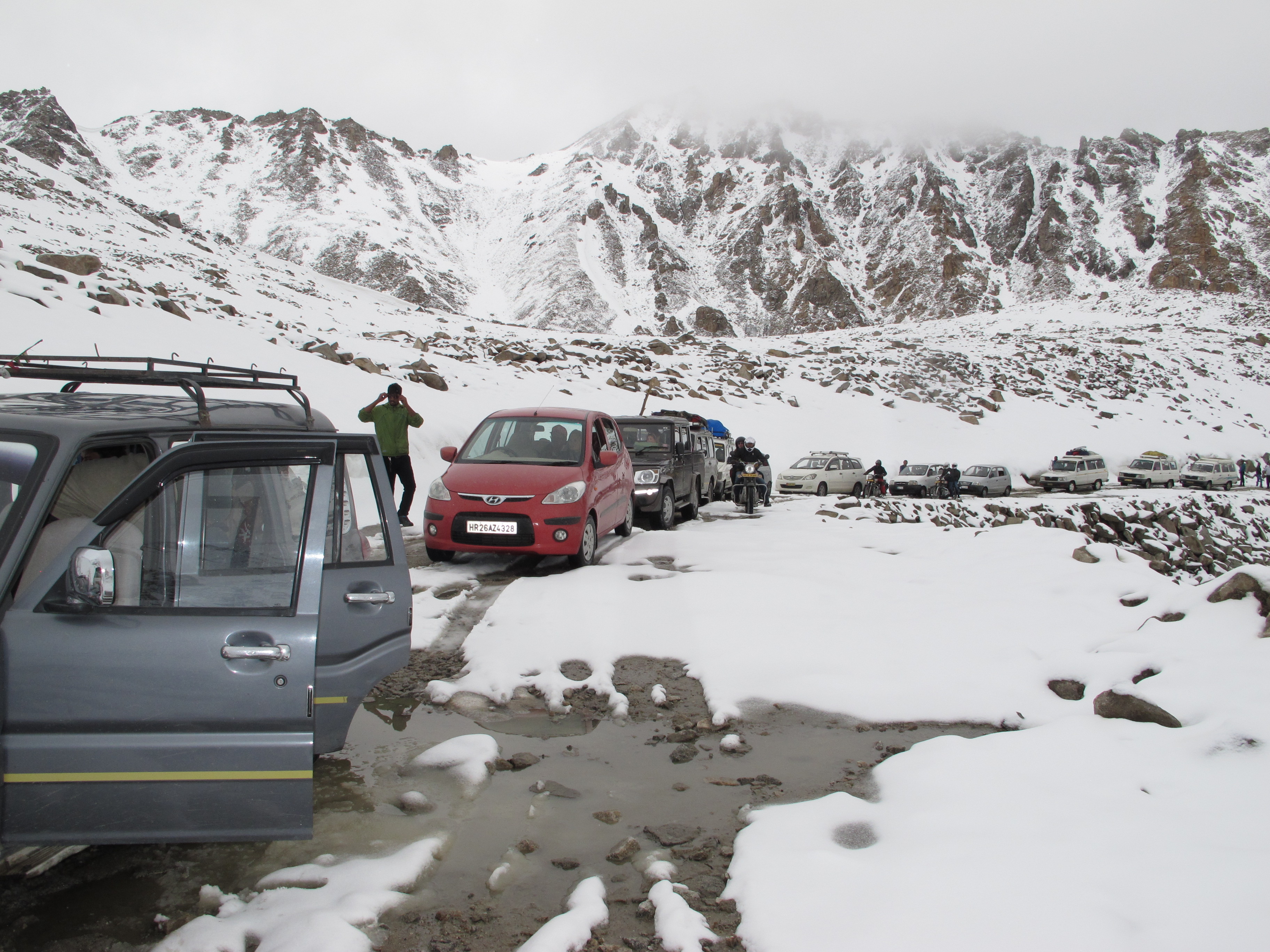
The roads miraculously stay open year round; at least during the summer crews work constantly to buttress walls, fill in rutted sections, break up rock for more fill, repair damage. The workers even sleep up there in bedraggled tents. For the cars and trucks that today depend on these roads for passage, the drives are very challenging. A trip from Leh can take from four to eight hours depending on conditions, just to do about 100 kilometers. We crossed the north pass after a few days of fine weather. Sections were still slow, harrowing and demanding; but comparatively we sped along.
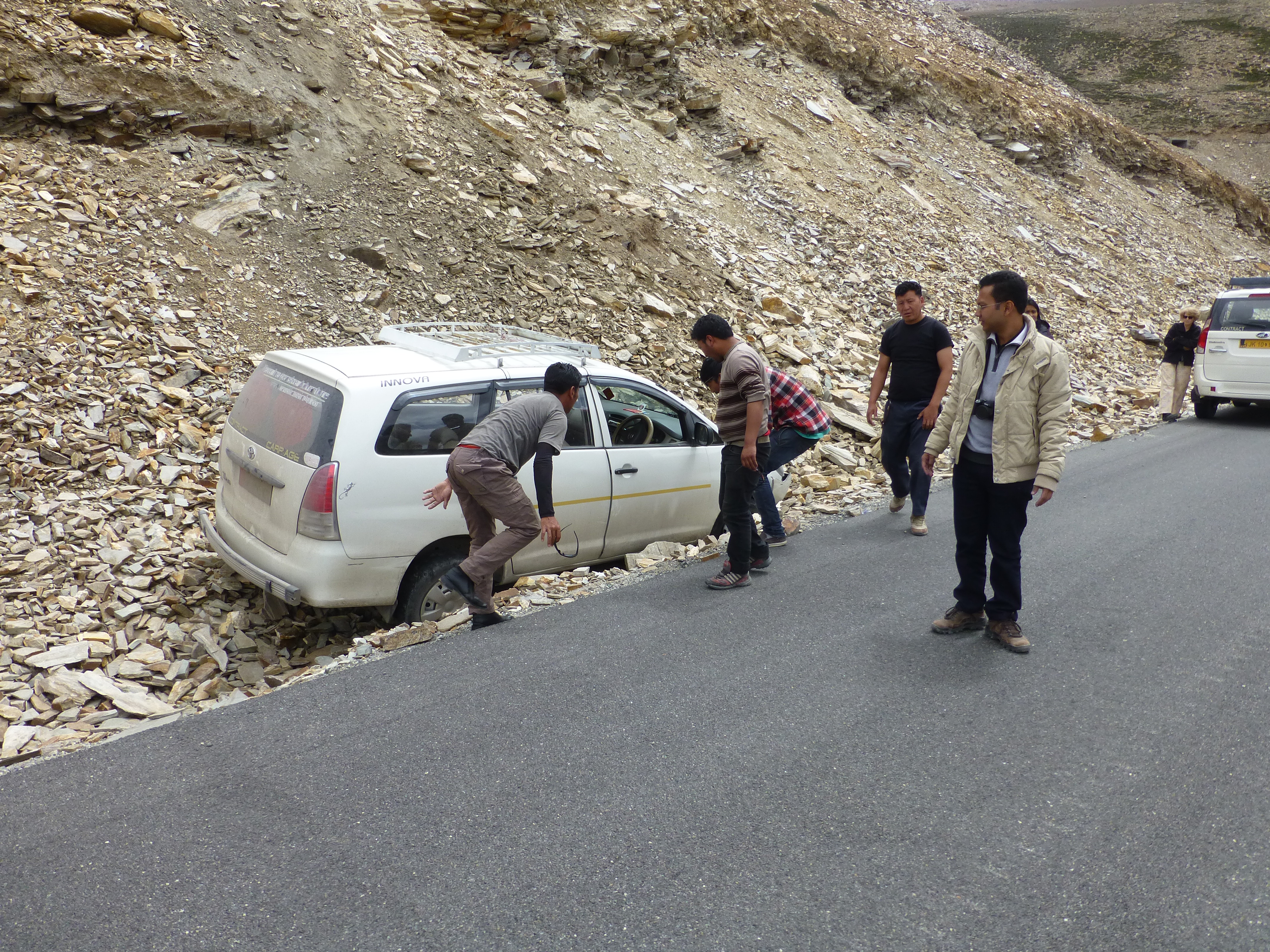
Two days later, snow and rain brought debris onto the roads, rutted them further, broke off sections, turned some parts into fast-moving river beds…and we waited hours just to go through. One slip in attention on these roads…well, we saw several shells of cars that had not made it. And we had to help one car whose driver who fell asleep and veered off into a rubbly ditch to the left, fortunately. The road had a sheer drop-off to the right.
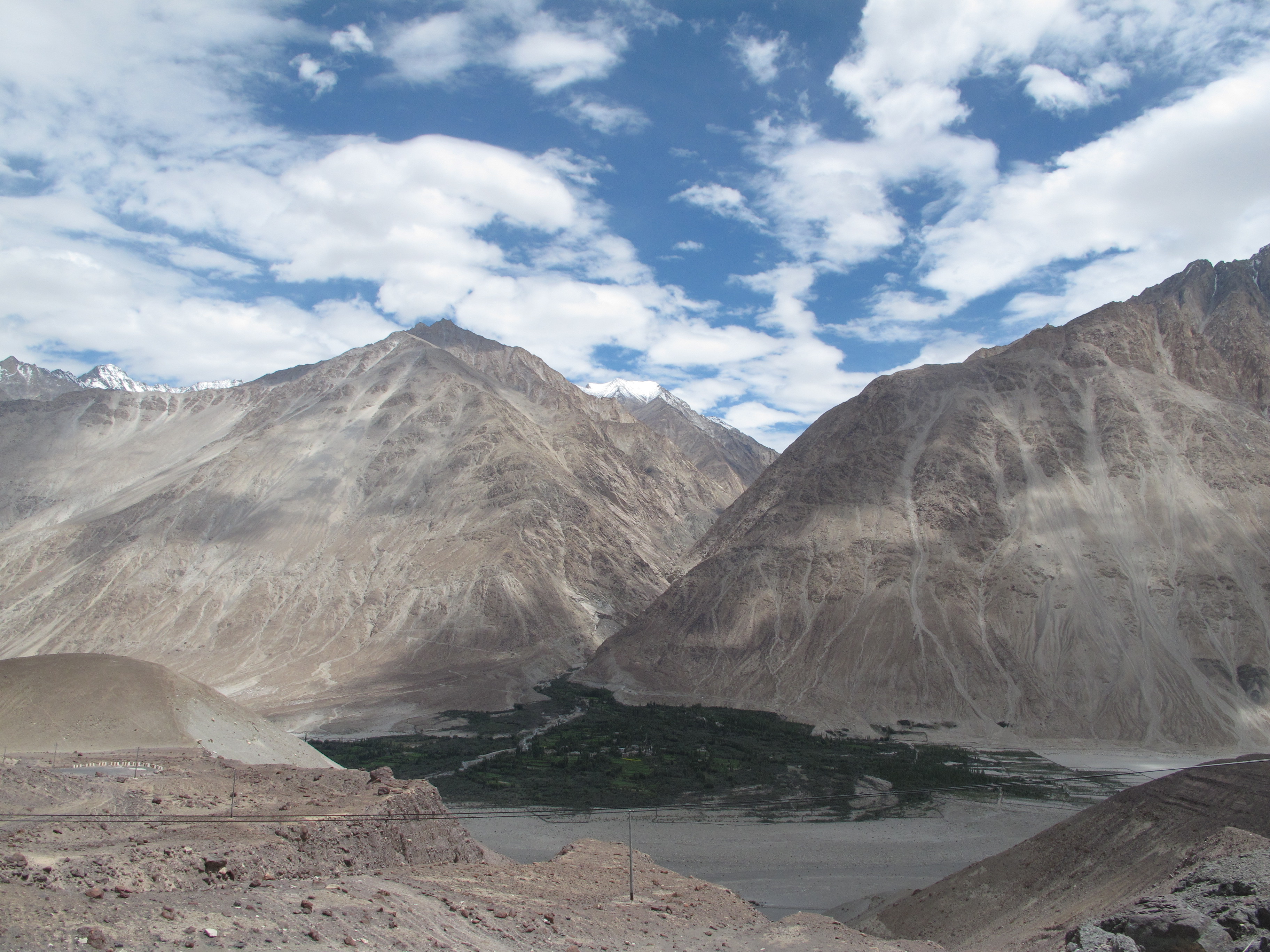
Still, for a tourist anyway, if not your driver, the ordeal can be well worth it. Once we crossed northward thru the highest road, we descended amid red sandstone mountains and the snow-topped peaks that cradle the broad Nubra Valley and its principal river, Shyok.
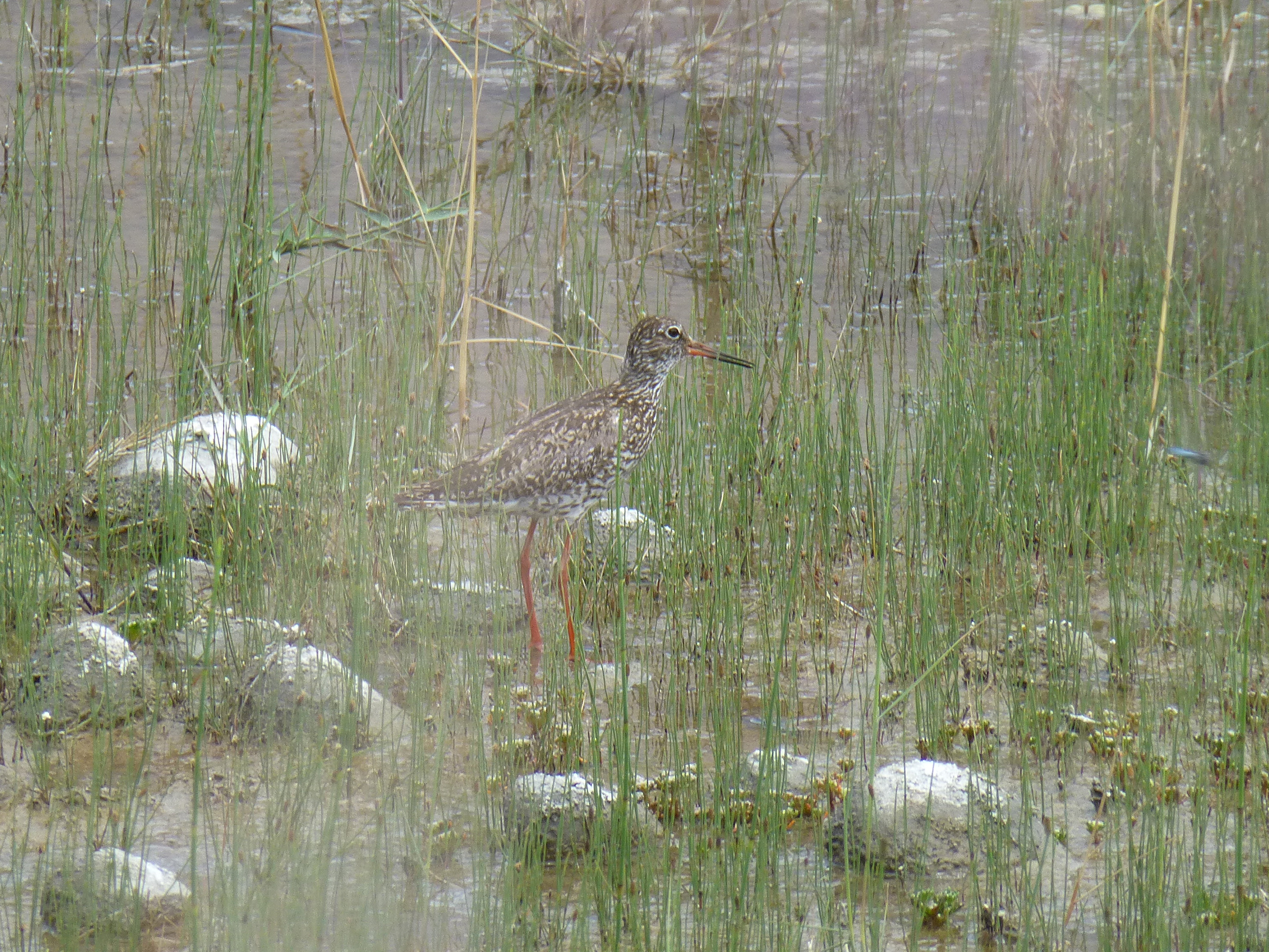
The clouds, sunlight, dazzling sky and red valley walls shifted colors gloriously throughout the day. We found pleasure in the grand displays of tonal changes and the stunning vistas along the way. And, on foot, we found delight in the smaller pleasures: friendly villagers, small herds of goats and donkeys, amiable and unconcerned birds, streams and waterflows everywhere, as well as valley greenery.
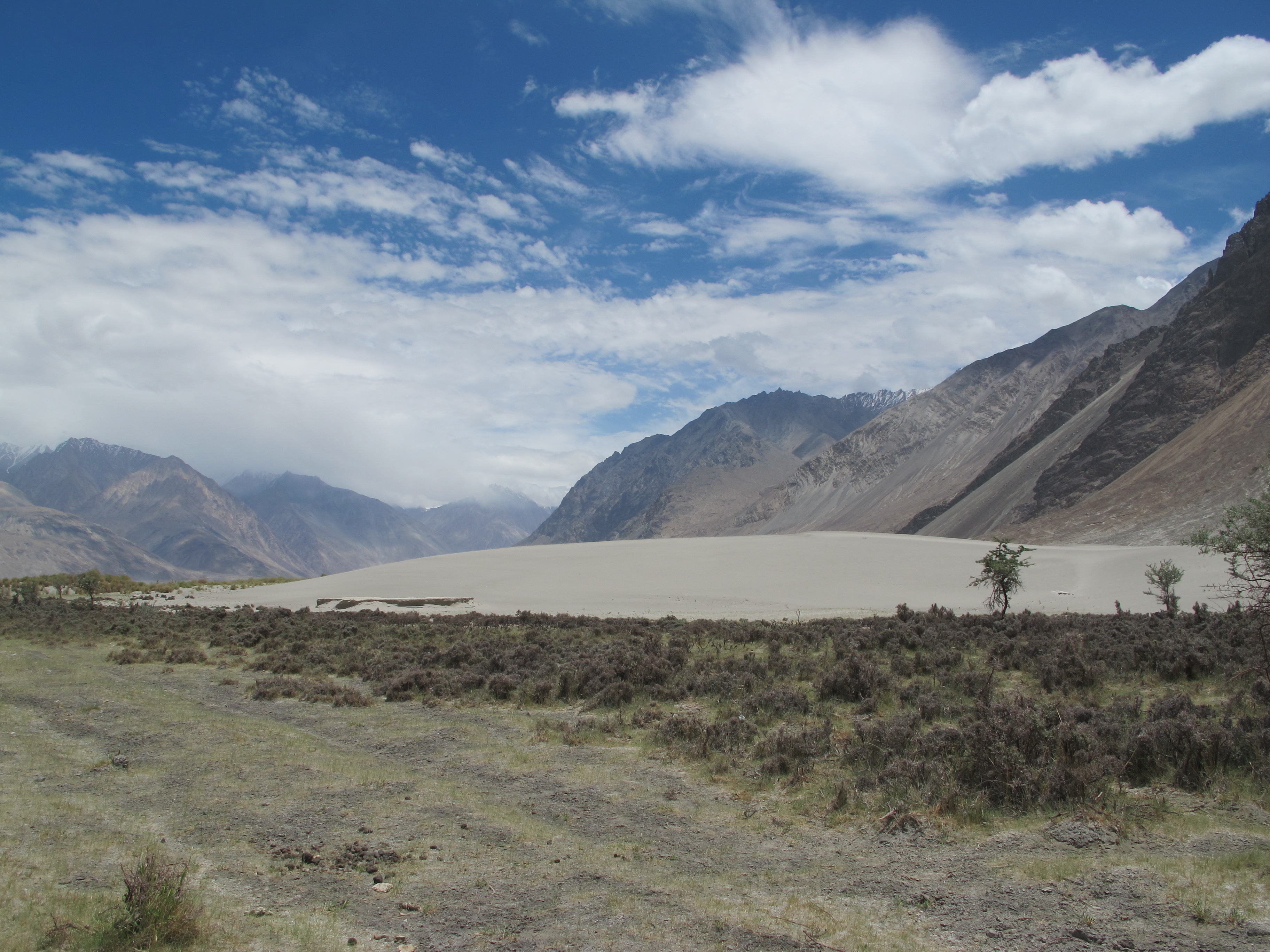
Oddly, throughout the valley, we could also explore hectares of sand dunes right next to the waters, sometimes a pleasing contrast to the other colors of the valley, and sometimes a wind-whipped sandstorm to avoid.
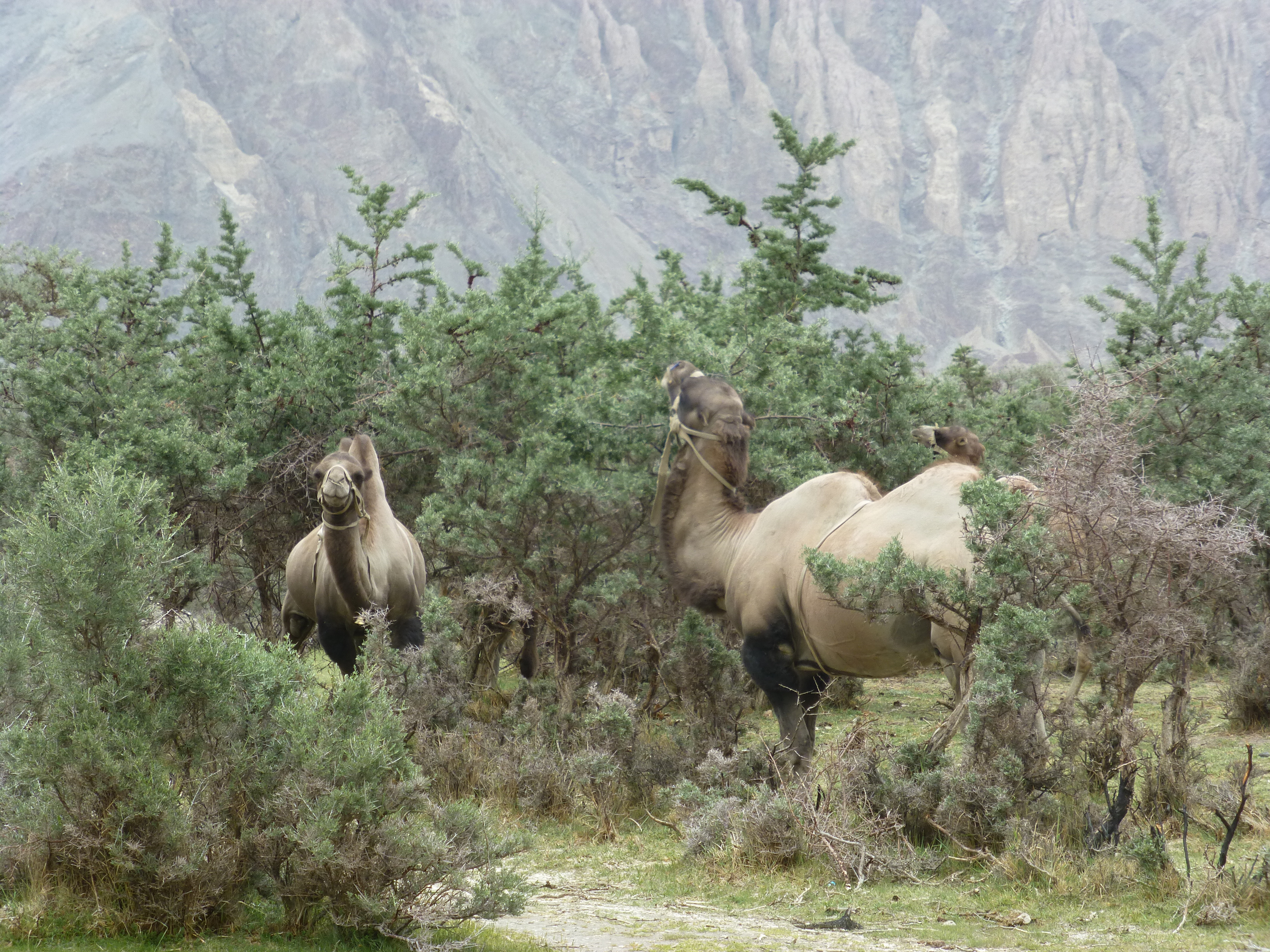
And to go along with the sand, a herd of Bactrian double-humped camels grazed off the trees, indifferent to the gaping tourists.
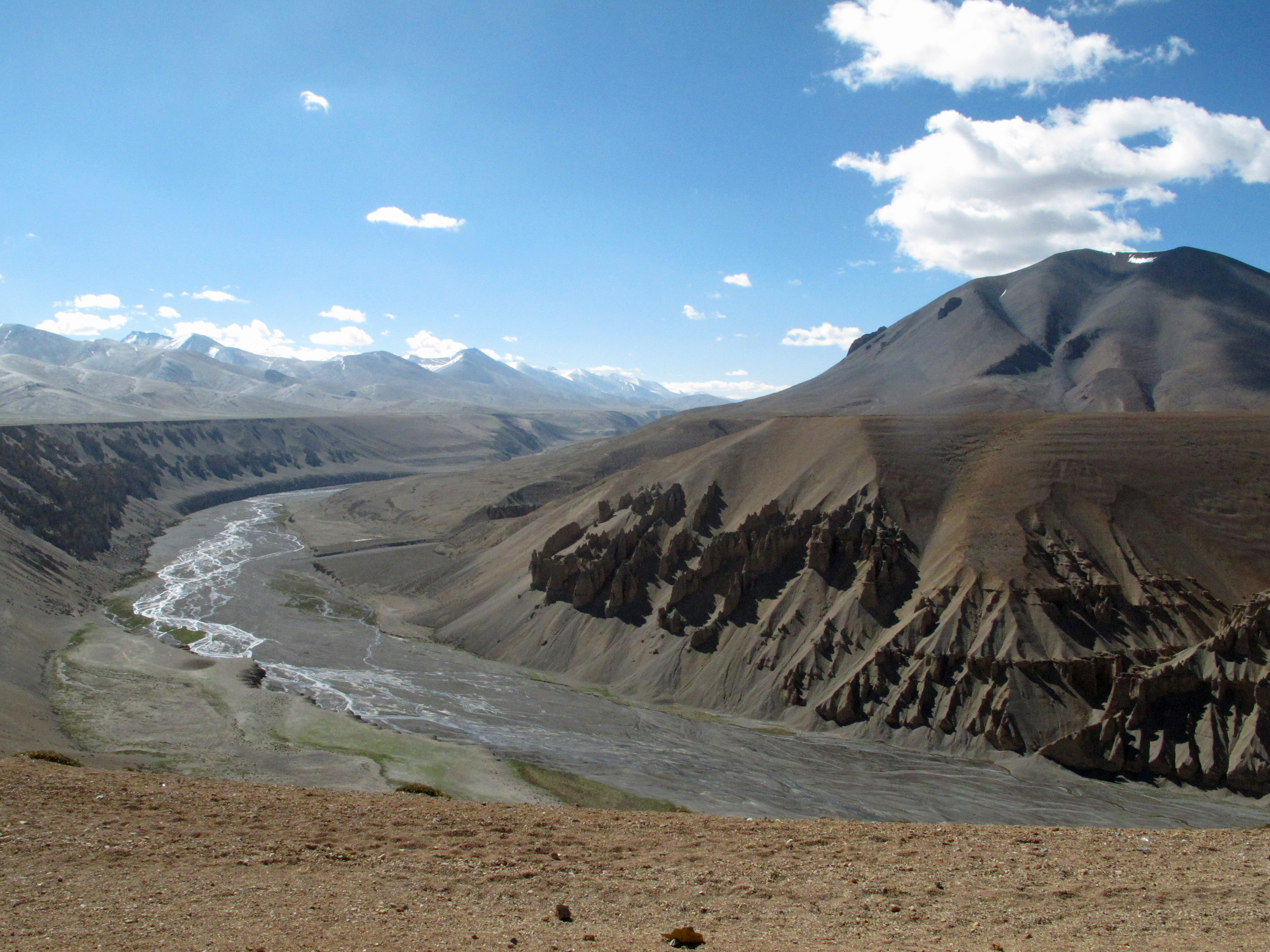
To the south, off the famous – and notorious – Leh-Manali highway, the gateway between north and south, is the more desert-like Rupshu Valley.
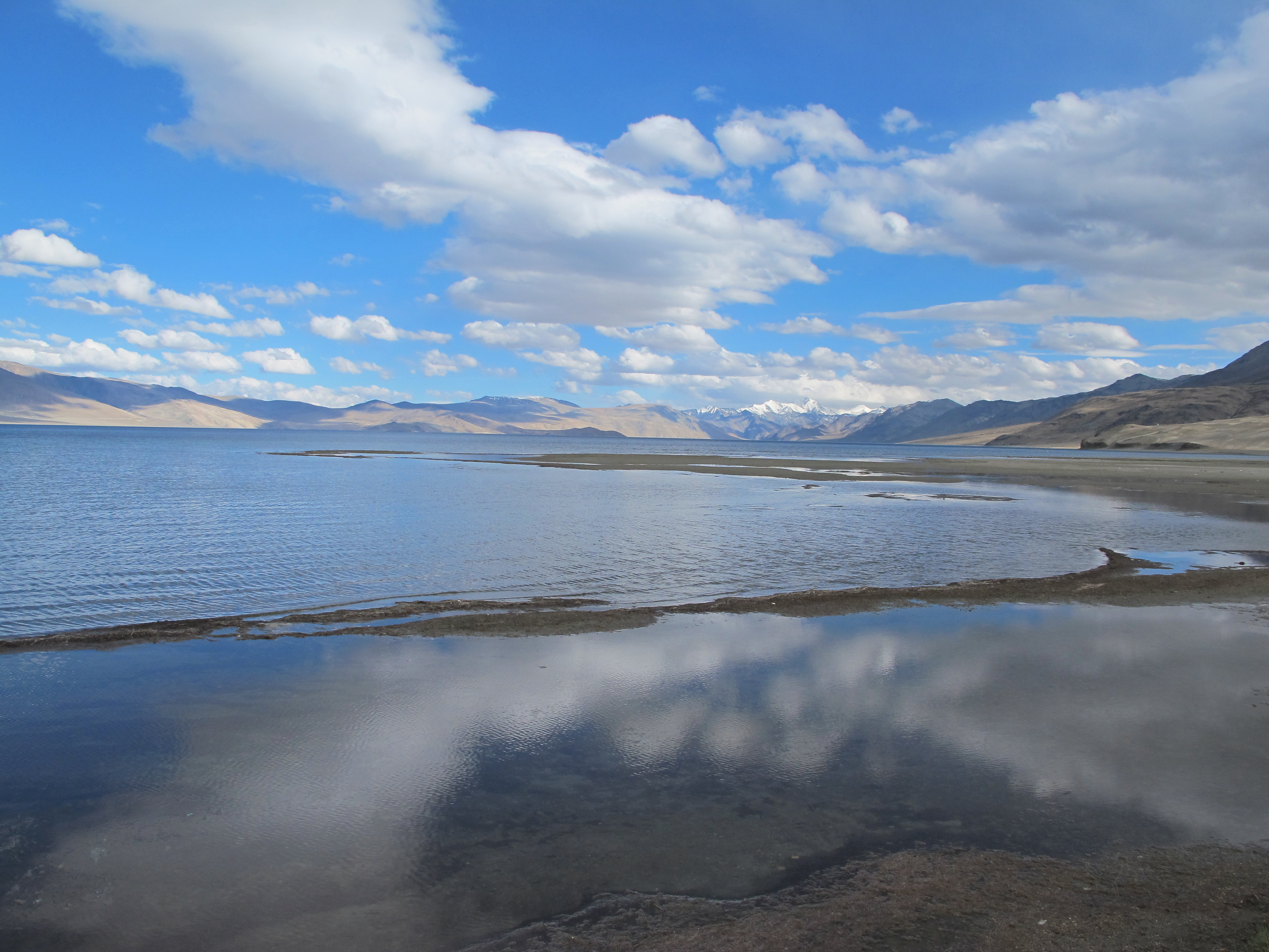
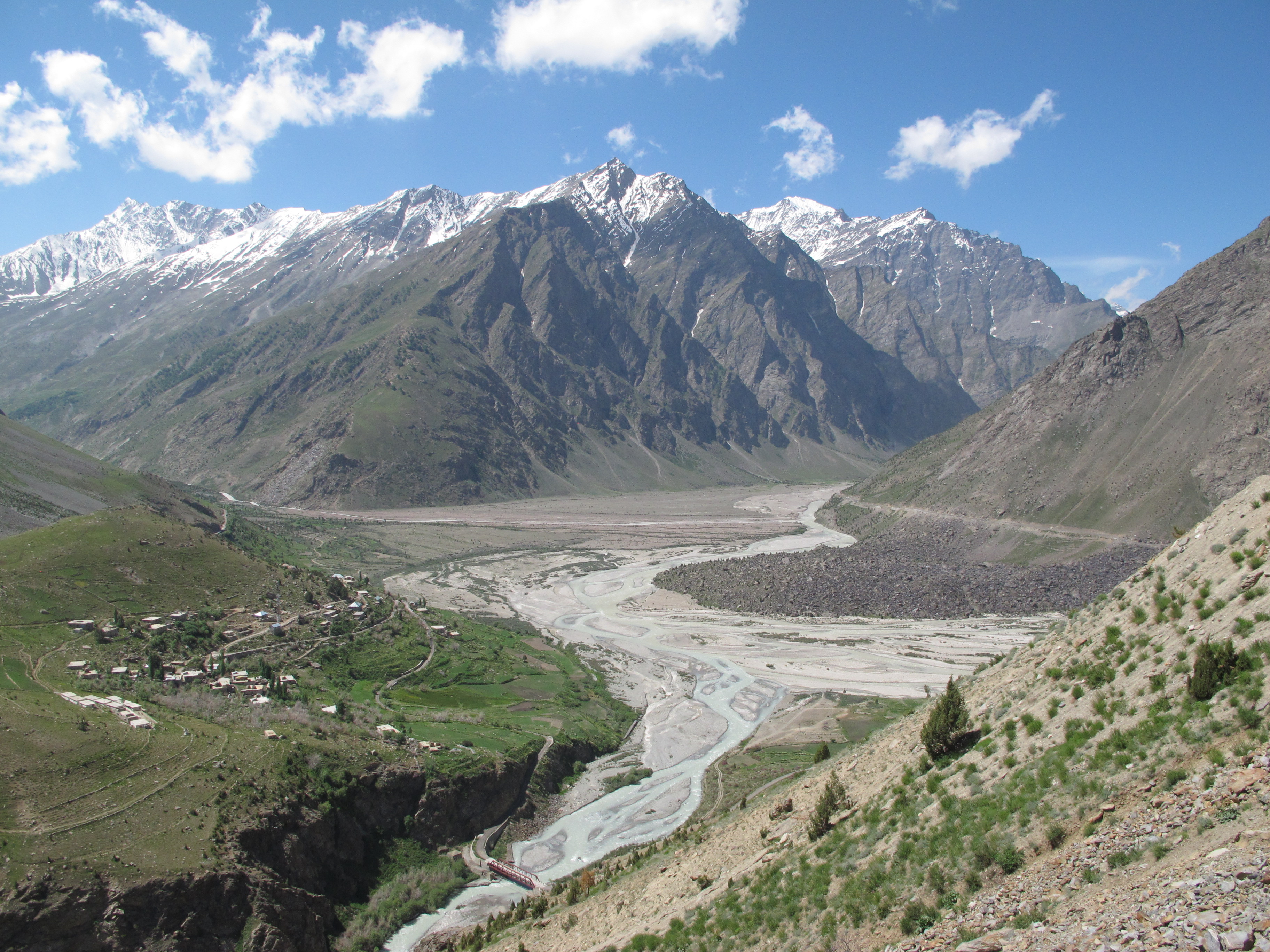
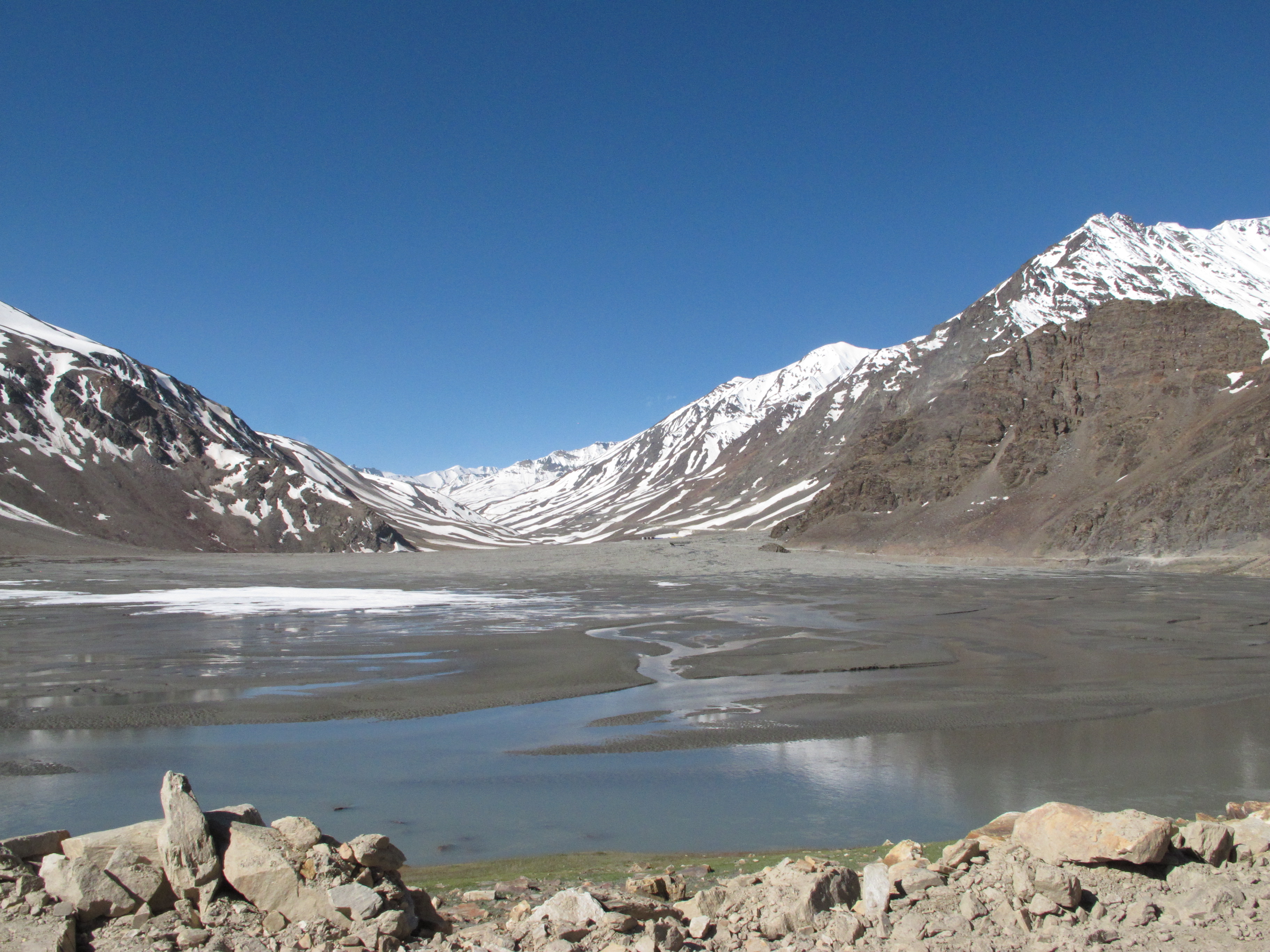
Here you can follow long stretches of sandy mountains, a mix of reds and whites, backed by snowy crests nearly 7000 meters high. Scattered randomly it seemed in this dry landscape, several large lakes suddenly appear en route, mysteriously fed from up high, and a few kilometers and up to 140 kilometers long.
These fill the sandy hollows with turquoise and emerald and royal blue waters, colors that transform the clear, deep blue of the skies. With little development or village life sustainable here, these lakes are havens for a wide array of wildlife, as well as travelers who are happy to live in the sometimes basic and sometimes deluxe tents of the tourist camps.
In this way, we mimic the other visitors here, nomadic tribes that stop in fertile areas for a while, but then move on to fresher areas to keep their livestock fed – a lifestyle going back to pre-history.
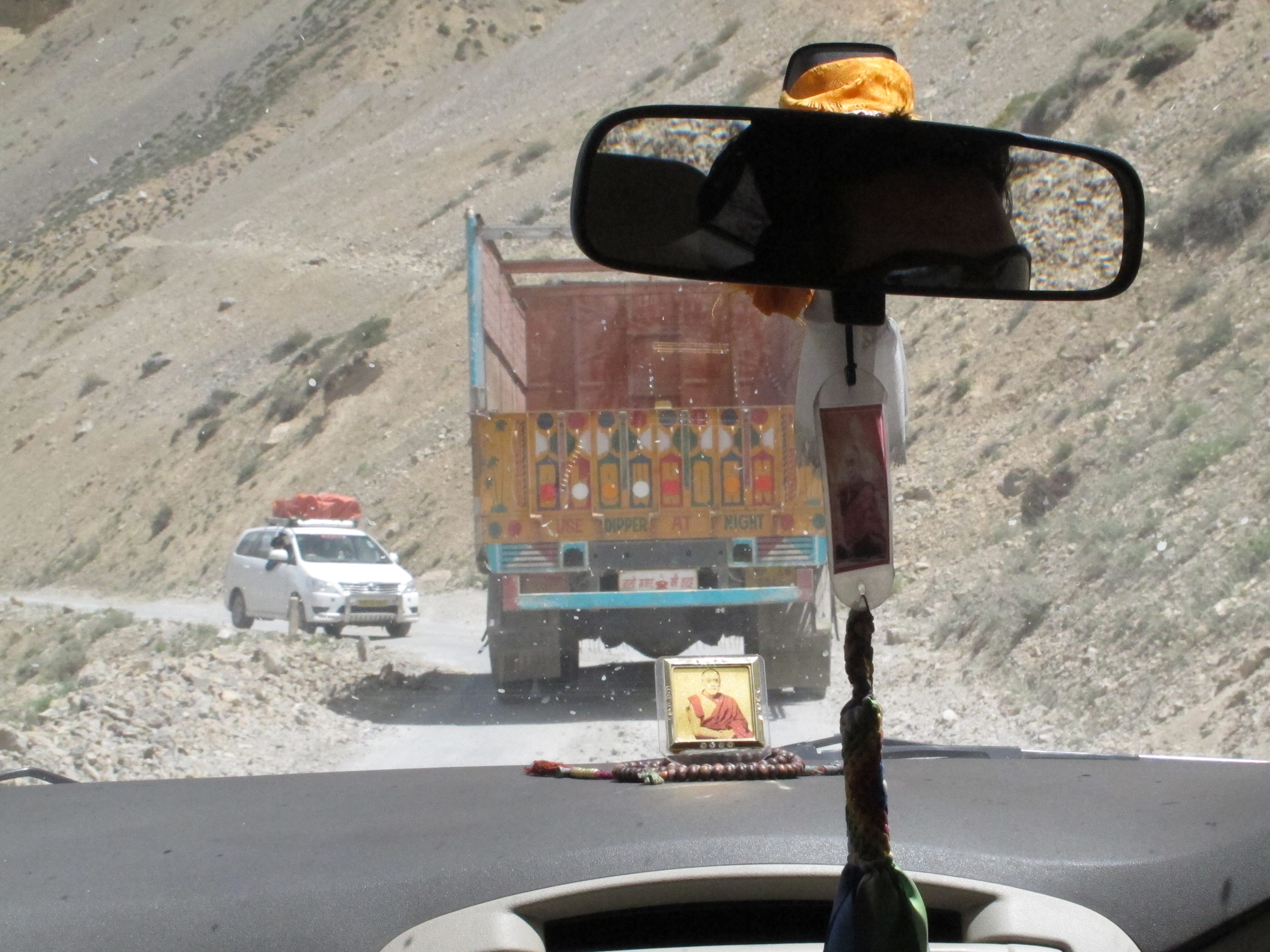
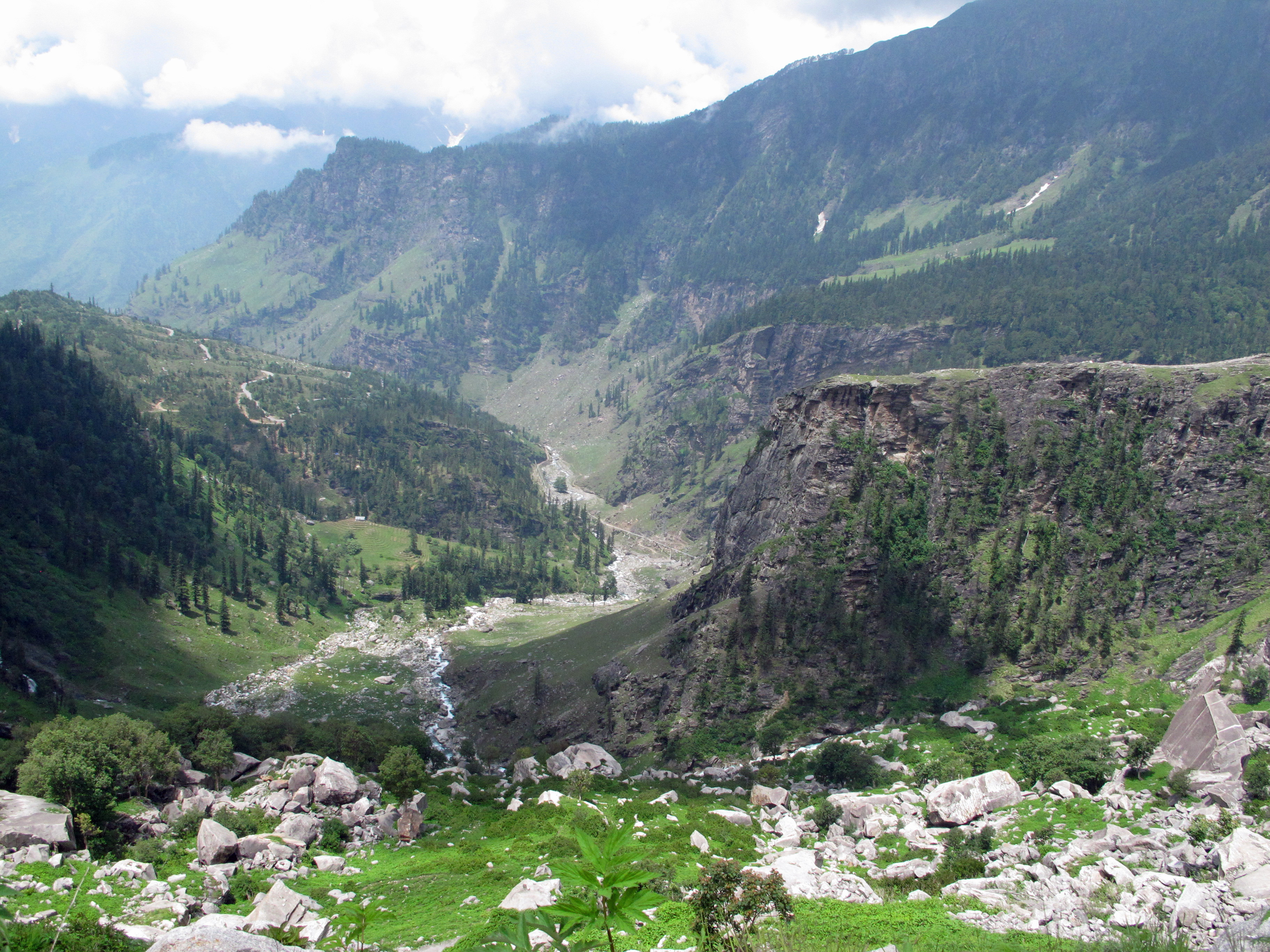
This is only the first 100 kilometers or so of the Leh-Manali highway. Its roughly 485 kilometers takes optimistically 15 to 20 hours, an average pace of only 30 kilometers per hour (or about 20 mph). If conditions go sour, who knows? But you want to go slowly along this road for reasons of both safety, and beauty. As we puttered along, we constantly passed 12 kiloliter Indian Oil trucks, the only petrol supply chain for Ladakh, even on parts of the road where you could barely squeeze one vehicle.
As in the passes near Leh, we needed to ford waterfalls across the road, avoid giant potholes and “shooting stones” clogging up the road. We also needed to corkscrew up and down tight switchbacks (including the amazing 21 loop descent in one section near Jispa), slip by unconcerned work crews, and creep along many makeshift bridges whose replacements always seemed to be a year from completion.
But the landscape, oh my. It’s no wonder even intrepid bicyclists are willing to make the extraordinary effort of covering the verticals and the distance in 8 or 10 days.
Stunning snow-capped landscapes, steep multi-colored canyons, rivers roaring through the valleys and high-altitude lakes that feed them – almost an overload of beauty along the way. And then there are the green valleys that greeted us as we finally began to descend through Jispa, up and over the last pass and then down, down into the pine-scented vale of Manali.
Every hour is worth the effort, especially if you’re not driving yourself (thanks, Toshi!).
(Also, for more pictures from India, CLICK HERE to view the slideshow at the end of the India itinerary page.)

Wow crazy road-trip…I didn’t realize you drove that much around! Doesn’t even look like India, this is really cool….
The drive into the north and south valleys takes a while, particularly if conditions worsen, but the vistas are so pleasurable that you don’t really notice the time…and then there are the frightening sections or bone-crunching ones to wake you up. Also, the Leh-Manali highway is likely one of most amazing roads on earth.
These pictures are insane