Rain lashed us, swept sideways, as even the cattle collectively turned their backs to the violent gusts that threatened to heave them into another pasture. And there we were, bravely rolling along in a 6400 pound, 20 foot long, 10 foot tall campervan, now being jerked left and right by those gusts.
The two-laned highway seemed to get narrower and narrower with exceedingly wide semi-trailer trucks rumbling past us on the right and gaping irrigation ditches skirting the road on our left. Warning signs appeared about roads slippery when wet, let alone when wind-blown, though happily none warning about the danger of free range goats that we saw on the North Island roads. Oooh, a narrowing of the road at a culvert. Quick calculation: slow down for the truck to pass? Speed up? Pray?

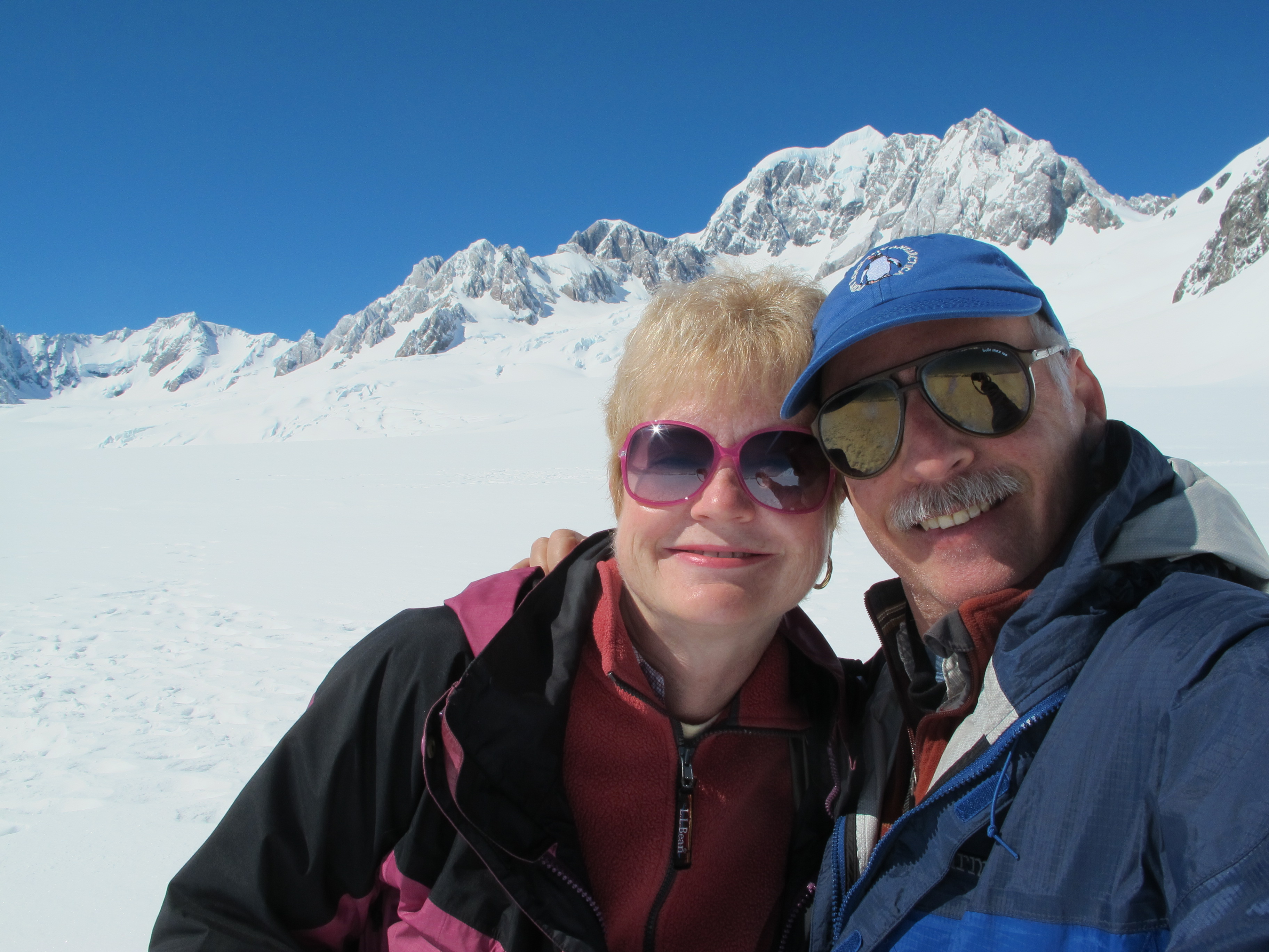
Overall, though, we were pretty fortunate in touring the west coast of the South Island, not just because we eventually returned safely to Nelson so we could tell this tale, but because the worst of the weather hit while we were driving. The best weather settled in when we actually did our hiking and outdoor sight-seeing. And the good weather peaked when we were visiting the big highlight along the coast, the two glaciers whose icy flows get close to the coastal highway – Franz Josef and Fox – and their impossibly picturesque backdrop, the snowy peaks of the Southern Alps. (Click here to see our post on the first half of the trip.)

Despite the nasty weather in our drive down to the glaciers, it started clearing during our half hour walk to within about 100 meters of the leading face of Fox.

As we got closer, the grey misty cloud cover began to break up and sunlight spread around the steep valley formed by the glacier, revealing lovely contrasts of icy whites and shadowy blues above, slate colored rock on sheered vertical cliffs, deep blue sky and forest greens.

We longed to push past the ranger barriers, as some have done, to get a closer view, but kept to the rules. In Antarctica, we had seen massive glacial faces collapse and also knew that, in 2009, 100 tons of ice tumbled on a couple of Australians who crossed the barrier to get nearer. Not worth it.

Besides, it seemed so clear now that we decided to drive out to a viewpoint identified by the tourist info people about 20 minutes from town. Best views of the major peaks of the Southern Alps, Mt. Cook and Mt. Tasman, they said.

It was just at the end of a set of farms, but there we were, all by ourselves in the full sunlight, cooking up a pleasant lunch and gazing at the range in the distance. The peek-a-boo peaks were still incompletely visible because of the high cloud layers crowning them, but impressive nonetheless. With some pretty strong winds around us, we kept hoping the tops would clear, and that’s why we moved on to Lake Matheson nearby.

You can’t hardly pick up a brochure or map on the South Island without seeing a photo of Lake Matheson. This mile-long narrow lake points toward the mountains and creates a picture-perfect reflection of the snowy peaks – at least when they aren’t shrouded in clouds, a moment which can seem like never when you’re here in typical weather. We did the sunlit walk around the lake on a well maintained trail through lovely forest, a pleasant experience in itself, but could only extrapolate about the famous view as the clouds kept piling up on top of the peaks.

That night, however, everything cleared. Stars shone. The morning sunlight sparkled on the snowy peaks, even from the angle of our camper park. We had thought to take a guided walk upon the Fox Glacier, but the forecast for our scheduled time in the afternoon showed increasing cloudiness. And it was bleeping brilliant out. So we did the only rational thing: we found a helicopter ride to get up close to the peaks instead.

After a bit of arranging, up we went. Though the farmed valleys along the apron of the Alps gleamed green, they were outshone by the snowy meringue of the mountains. Up Balfour glacier we went, with its cracks and crevices shining blue, then swooped about Franz Josef with its snow-blanketed ice cascading toward the sea.

Around and through the peaks of 12000 foot Cook, Tasman, Haast, we sailed, skittering along the glistening backside that is often unseen, all gleaming white against dark craggy cliffs.

Next, a photo-op landing on Fox Glacier, trudging about on hard packed snow with the peaks all around us, especially the nearby Tasman that looked, oh, so close.

Odd, for it turned out to be about 6000 feet above us, as we had landed about half way above the valley floor.
Then a final swoop down the rippling Fox Glacier to the valley below. We were smiling brightly for hours afterwards.

(Enjoy part of the flight as we sweep around Mt. Tasman and Mt. Cook in the following video. For other videos of the flight, click here to view the separate page.)
Perhaps it was a bit of an anti-climax at that point, but we wanted the exercise and found the 90 minute round trip walk to Franz Josef both visually engaging and instructive, even as the grey clouds battled with sunlight again.

Franz Josef, we learned, is shrinking drastically due to climate warming. It shares this fate with the vanishing glaciers in North America’s Glacier National Park, which rangers expect to be glacier-less by 2050, when presumably it will be known as The Former Glacier National Park. By contrast, Fox – just 22 kilometers away – has ebbed and flowed quite a bit. On the road toward Fox, you see confusing markers about the extent of the glacier over the last two hundred plus years, but it was a lot farther down valley in the 18th century on the front edge of the Industrial Revolution. Now it is actually growing again, about a meter a week since 1985, the result of greater snowfall feeding it.

That walk to Franz Josef gets you to a barrier 200 meters from the leading edge, twice as far from the edge as Fox. However, the approach through the valley cleft by the glacier is somewhat more spectacular.

Like the Fox valley, it is doused by dozens of vertiginous waterfalls, but here you clearly see natural demarcations of the stages of the glacier’s retreat in the foliage and rocks. At the barrier, you see higher up the glacier as its ice sheet rolls through several levels downward.

Yes, we wanted to go past the barrier here too, but again did not imitate three fools we saw already in the danger zone, traipsing amid the crushed rock rubble for a closer look. Good fortune to them.
The next morning, as expected, the clouds had taken over, but the rain at worst was a sprinkle so, heading back north, we took the recommendation of our holiday park host, a Frenchman from Brittany working his way around the world. Near Okarito (home of the Booker Prize-winning New Zealand writer Keri Hulme), just a short drive away, he said, was a splendid beach walk we shouldn’t miss.

He was right, and our timing again was good. Though rain sprinkled a bit during the hour we walked the shoreline, with a brisk wind at our backs, we were dressed up for it with good jackets, rain pants and overshoes. The beach itself was a constant delight. Boulders and rocky outcroppings, dropped eons back off the steep hillside now decked with thick bush foliage, chopped up the incoming waves. Though all was mostly grey, these rocks had scattered in endlessly interesting formations, often veined by colorful seams or gleaming white quartz.

Amidst them, the noisy carpet of large pebbles under our feet displayed myriad colors as if the light from a prism had shattered into colorful chunks. Suddenly, two rare variable oystercatchers, or Maori torea-pango, a species only in New Zealand, skittered along the shore nearby, way too incautious for an endangered species.

Later a solitary seal lazing near a pyramidal rock wiggled out to sea as we approached.
Unfortunately, the hour return walk found us facing a driven wind and increasing rain, but the trip had been worth the discomfort. After a change of clothes, we pulled in at the nearby Okarito lagoon for some lunch we prepared, the true advantage of dragging your house along the road with you.
But the downpour and wind intensified. What you could see of the lagoon and the adjacent estuary would normally have enticed us to walk about some more, but not today. The colors were now more typical of the coast in this weather, when everything seems grey. Grey rivers or estuaries flow through grey sandbanks into grey seas edged in greyish-white foam, all reflecting the misty grey sky. The sodden air even veils the deep green bush in grey fog. But, even so, the landscape offers a steely visual thrill all its own.
Whipsawing rain, careening trucks and white knuckles, again filled the rest of the drive, which we decided to end in the aptly named Greymouth, just as the rains subsided for a while. Most of the restaurants were closed in the plain center of town, but one warmly inviting tavern in the Speight’s chain offered us some appealing options, especially whitebait.
Whitebait is the secret passion of Kiwis, particularly those living in the south. You can’t talk to anyone down there, or tell anyone elsewhere about visiting the south island, without hearing about whitebait. That writer Keri Hulme from Okarito describes herself as a whitebaiter, as well as an author. And this was prime season. Whitebait are literally inch-long fish fry, juvenile fish that teem in swarms, and are caught by conical mesh nets as high tides sweep them upstream into tidal estuaries. In Punakaiki, we saw a dozen whitebaiters stomping about the grey river shores near the ocean tending their traps. They reminded us of the teeming smelting crowd in Chicago that set out lanterns in early spring to entice their somewhat bigger prey into mesh nets laid along the Lake Michigan shore. The whitebaiters either make a pretty good living by selling the fish commercially or by stocking up for themselves and trading with neighbors. So we had to try them, the complete inch-long bodies, head tail and all, pressed into flat patties with a bit of egg or breading, and a squirt of lemon when eaten. They did taste pretty good too, a bit like white fish, but with a velvety firm texture.
Whitebait mission accomplished, we settled the campervan into an arbored park just outside of town for the last night of sleeping to the sound of thrashing rain.

On the final leg of the drive, the weather moderated to a sprinkling greyish so we could actually enjoy the splendid valleys leading back from the coast, and admire the steeply cleft Buller Gorge, surprisingly named along with its river for a renowned ornithologist and naturalist of 19th century New Zealand.

Arriving at last in Nelson, the grey clouds began to break apart into white streaks and uncovered blue sky and bright sunshine. Soon after, flying home in our small plane, we could view the sunlit scalloped hilly sounds of the northern peninsula, then the bright shore and harbor mouth on the approach to Wellington. Just at the right time.
(Click here to see our post on the first half of the trip to the west coast, OR
click here to see more videos of the helicopter ride, OR
for more pictures from New Zealand, CLICK HERE to view the slideshow at the end of the New Zealand itinerary page.)