

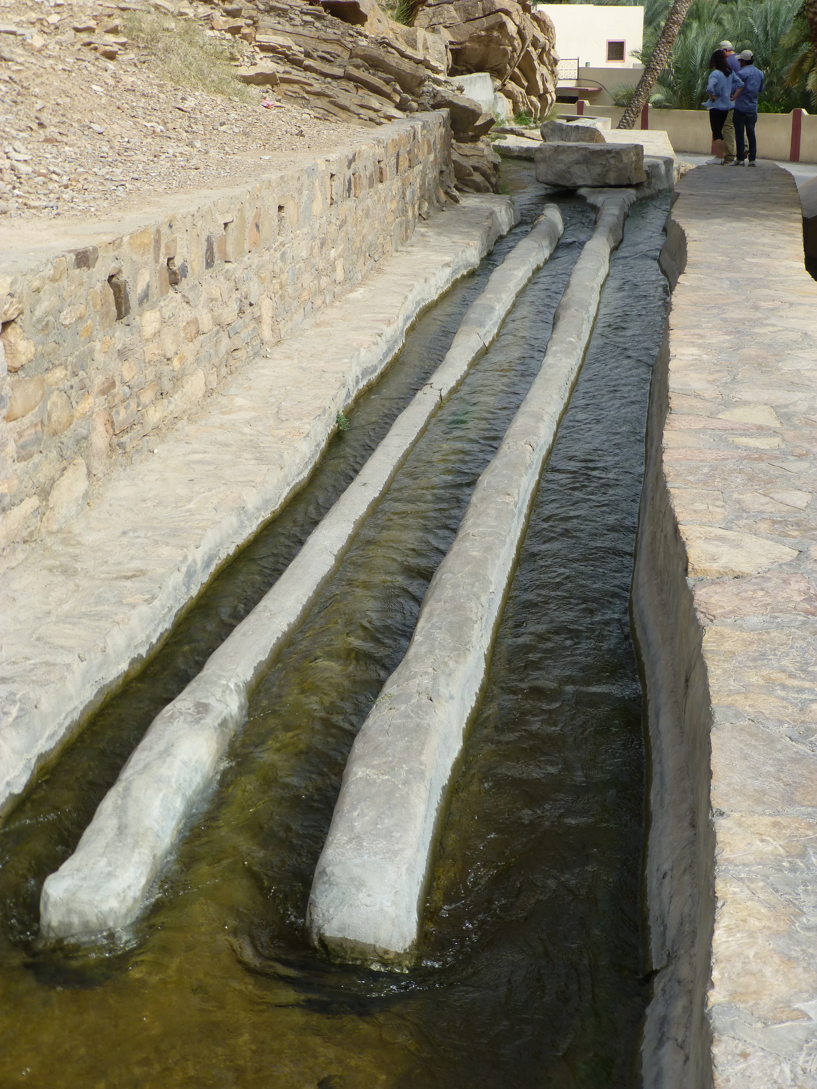
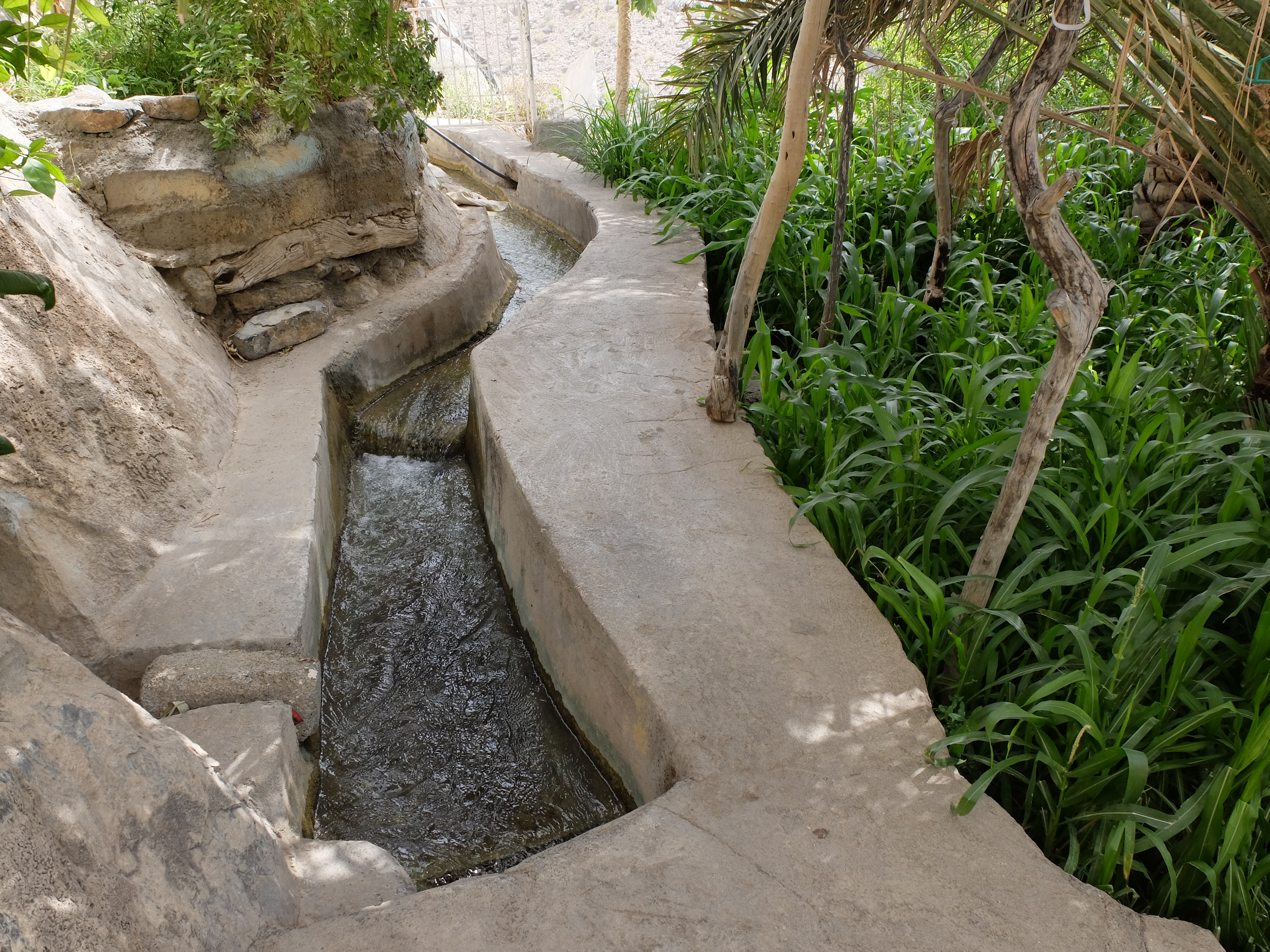
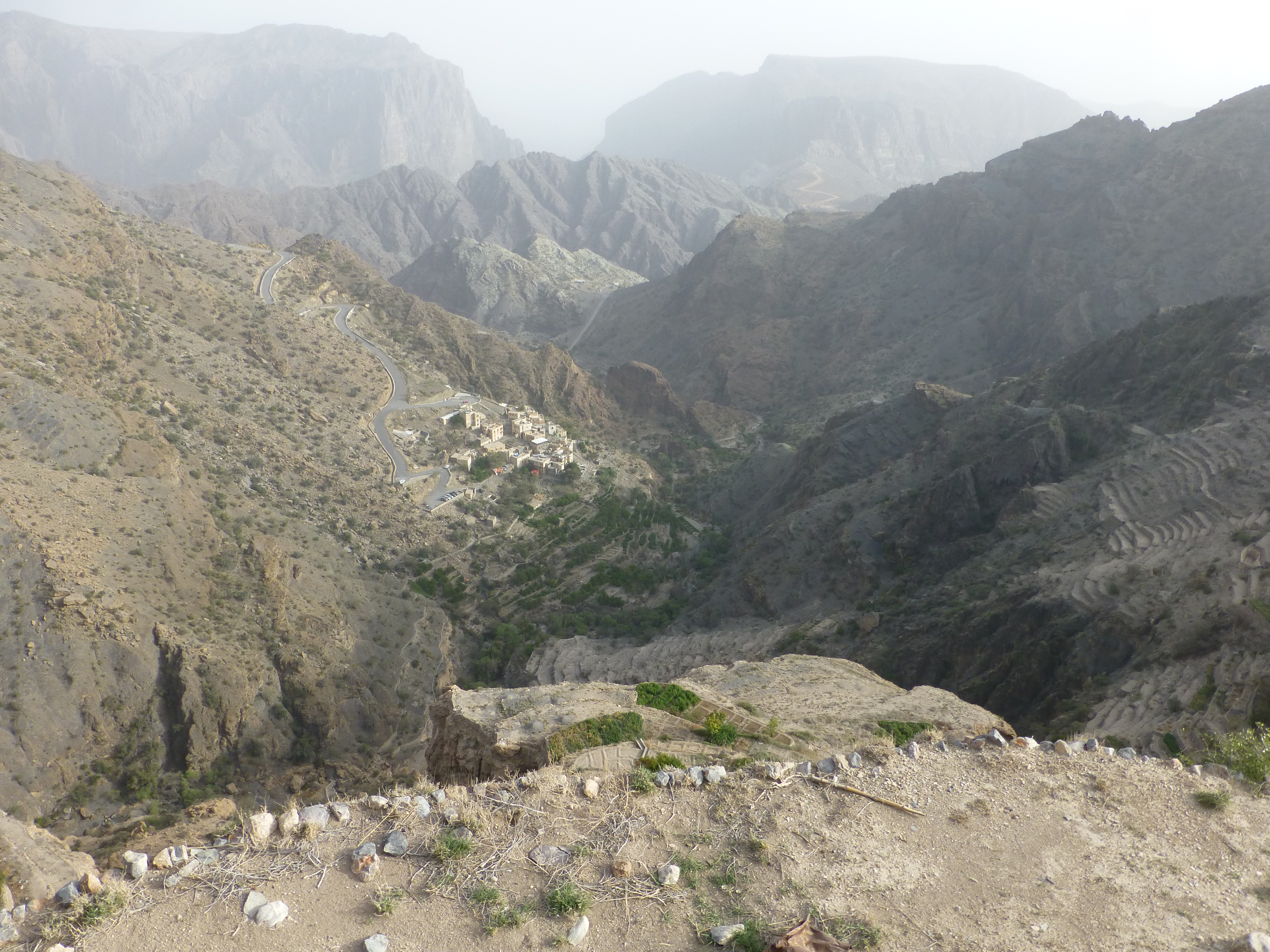
Aflaj, Oman’s gravity-driven water irrigation systems, date from 2500 years ago and possibly even 2000 years earlier. The word itself is said to imitate the sound of flowing water. Along the routes of these narrow canals, extensive plantations of date palms or banana trees, roses and pomegranates, vegetables and fruits flourish. The green fronds of the palms often seem to tumble down the clefts of the mountains and spread across the valley floors like the water itself.
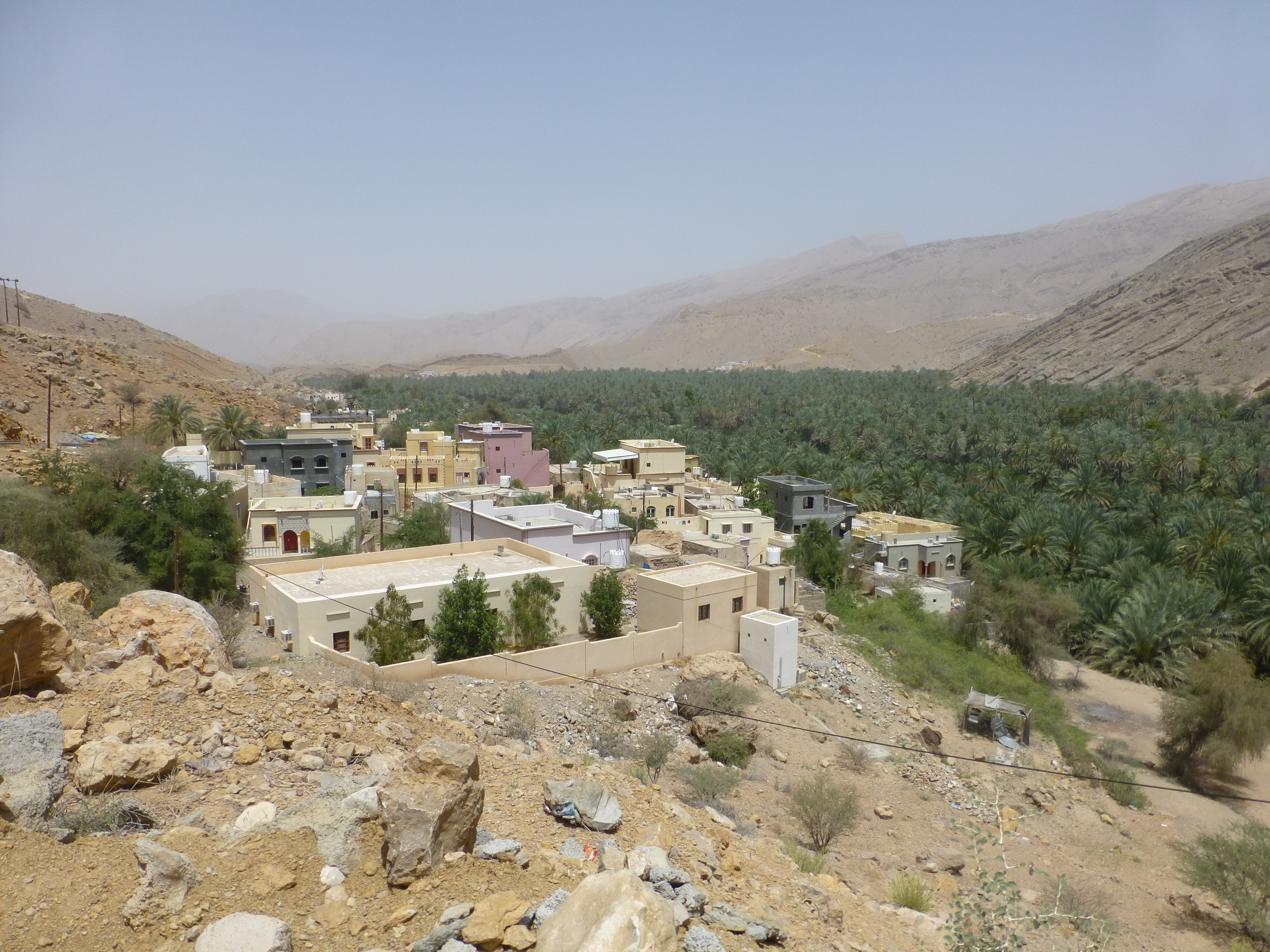
The aflaj are indeed oases in the desert, we thought during our 10 day road trip thru Oman, oases created by water captured on the mountain tops from the mists of the sea and secreted in underground springs before emerging in the lower valleys. And these fertile spaces must have been in the minds of those early cartographers who called the southern Arabian peninsula Arabia Felix, or Arabia Heureuse: happy or fertile Arab land.
But the aflaj were more than just a way of delivering the water of mountain springs to the dry hillsides and valleys of the desert. These networks have always represented two important values here.
First, as the fountain of life for the community, they required defending with another system, a network of watchtowers placed atop the highest peaks in the vicinity and in many cases still standing today.
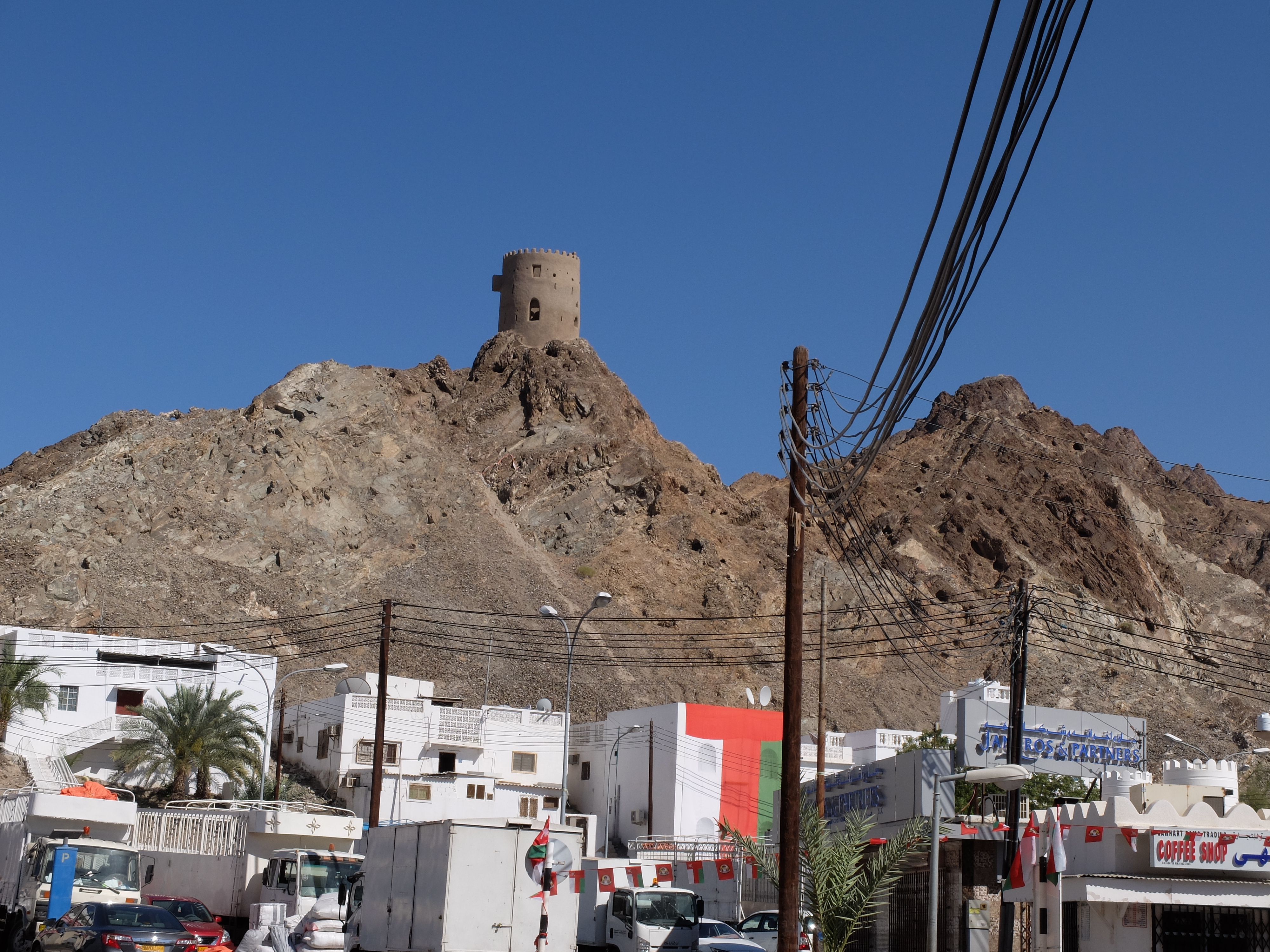
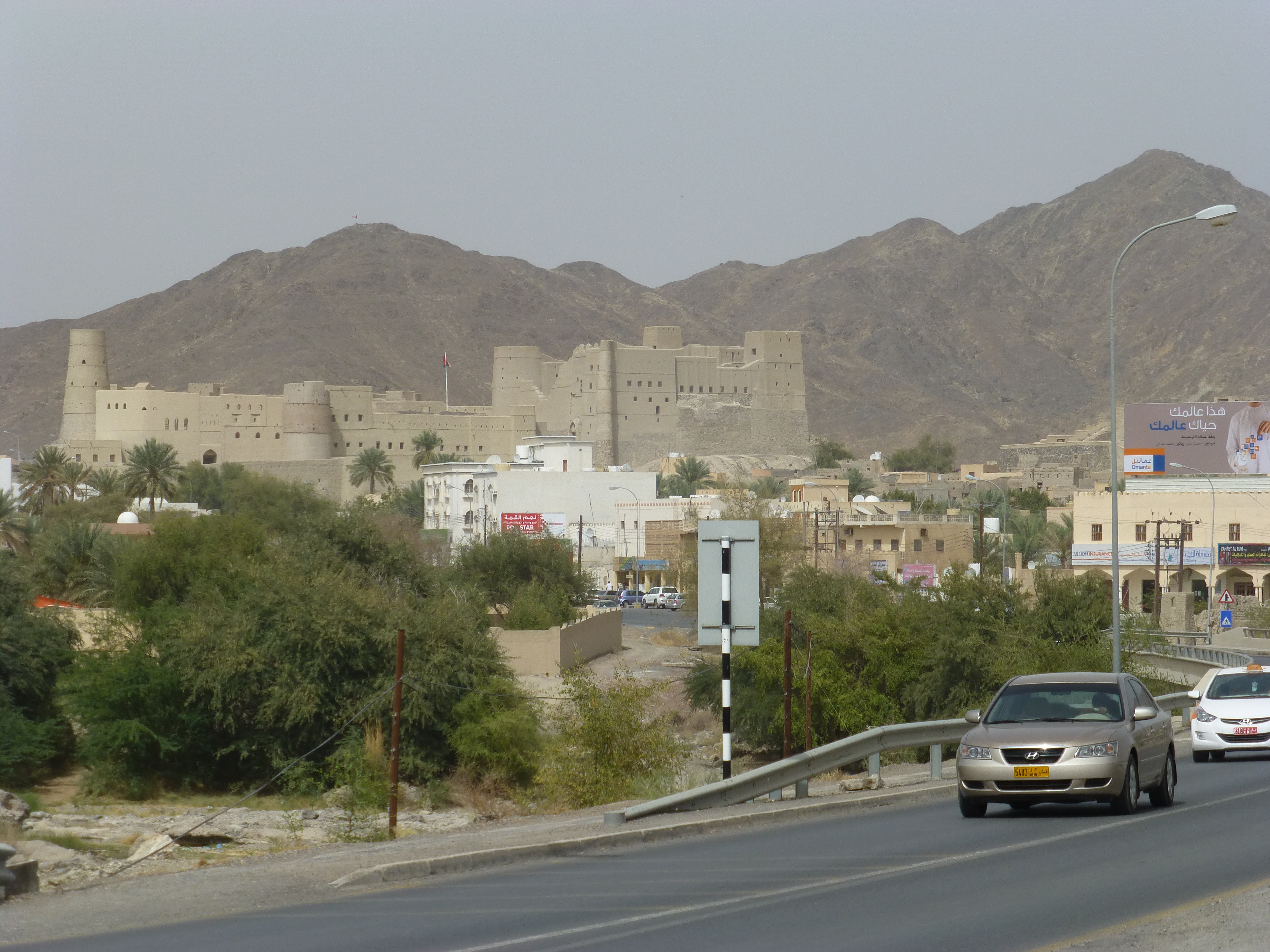
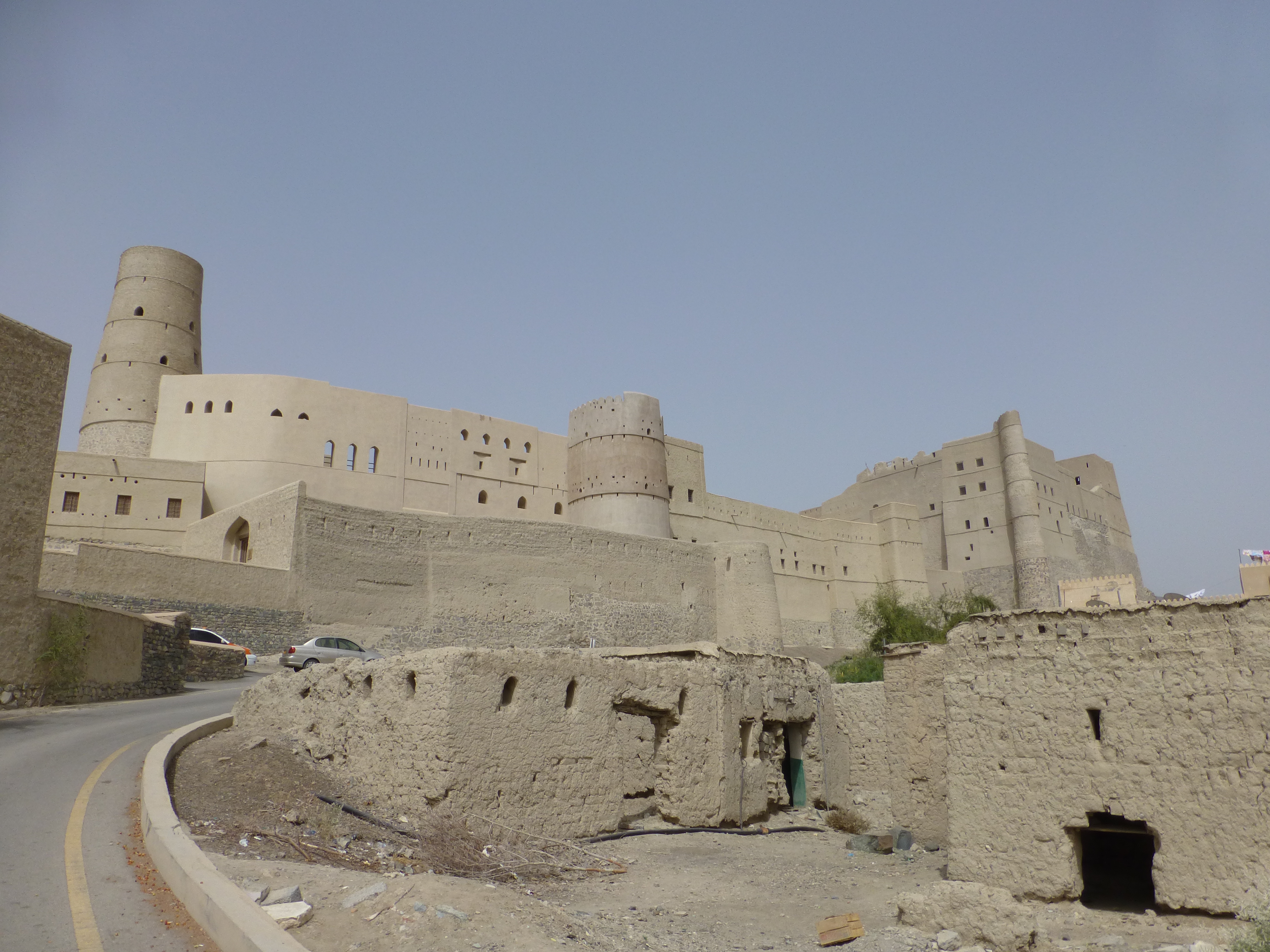
Some of the most notable forts, like the ones at Jabrin, Bahla and Nizwa arose as extensions of the watchtowers, incorporating the palaces of the local leaders or imams for protection of the essential aflaj. Reminiscent of medieval European castles, and World Heritage sites in their own right, the Omani forts also date back to the 12th century. Today they still stand impressively, as ochre as the desert sands around them, in the form they took by the 16th and 17th centuries.
Second, the aflaj represent a set of shared values. The allocation of water was based on fairness, as well as equitable distribution and timings, often determined by astrological measures all agreed to by community members. And by neighboring villages as well. All the towns upstream and downstream of each other were interdependent in their need for water, and participated in the allocations. The banks of the aflaj channels even acted as trails people used to travel from village to village.
Water management literally shaped the nature and even look of Omani culture. The systems’ antiquity and their cultural significance naturally qualified them as UNESCO World Heritage sites.

We followed some of these channels in and between villages, then later dipped our hands in the waters of one of the largest, the Falaj Daris of Nizwa. There we were told of the somewhat magical qualities of the channeled water – how it runs cool in the blistering heat of summer, but warm in the coolness of winter. We were visiting during the leading edge of summer, and the water felt warm to us, but we got the idea.
Even to modern Omanis, the aflaj are something special.
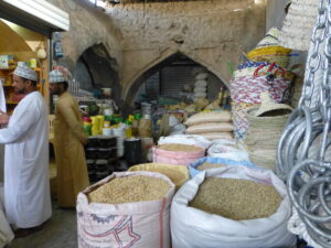
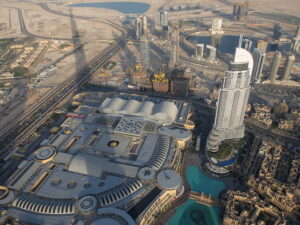
Unfortunately, during our long road trip around northern Oman, we found that the aflaj seemed to be somewhat of a model for the road system. (Click here to view our post, Road Trip Oman: Running Hot and Cold) In the villages, the aflaj channels twist and turn, link to others and wander off in different directions that only an experienced local can figure out. For some of the most visited of the aflaj, rough or faded tri-color painted markings define a trail you can follow, but where they take you remains a mystery.
On the highways, you’re lucky if you get signage that makes sense – normally, distance indications are infrequent and key exit points offer too little information, too late. At some roundabouts, a sign will list 10 locations available depending on where you get off the circle; others say absolutely nothing. You need a GPS guide most of the time, or you’ll find yourself heading off on a highway in the wrong direction. Worse, here and also in the neighboring UAE, you often are forced to go a long way in that wrong direction before you can turn about and go the right way.
In the cities as well you find few signs pointing the way to notable places you’re looking for. Even the official tourist maps fail to show the whereabouts of the grand mosque in Muscat…and as for directions, forget it. You often hear from fellow road trippers moaning, “We couldn’t find anything.”
Perhaps, as with the aflaj, the oddities and eccentricities of the road systems – and the intricate web of city streets – intentionally favor the locals familiar with them. Take your time, they say; savor misdirection. Once you know how to get around, you’ll be one of us. In the local papers, we saw that the government announced a new tourist initiative to add signage so foreigners can find their way better. We can certainly appreciate the benefit, but wonder whether something especially Omani may be lost with such clarity.
(Also, for more pictures from UAE and Oman, CLICK HERE to view the slideshow at the end of the UAE-Oman itinerary page.)
Hello,
I’d like to use this photo (The water divides at part of Falaj Daris, Nizwa ) to illustrate one article in a french Geosciences journal Geochronique. Can I have your approval, having in mind that the source will be mentionned.
Thanks. Bernard
We have written you by email, and are pleased you can use the photo.